
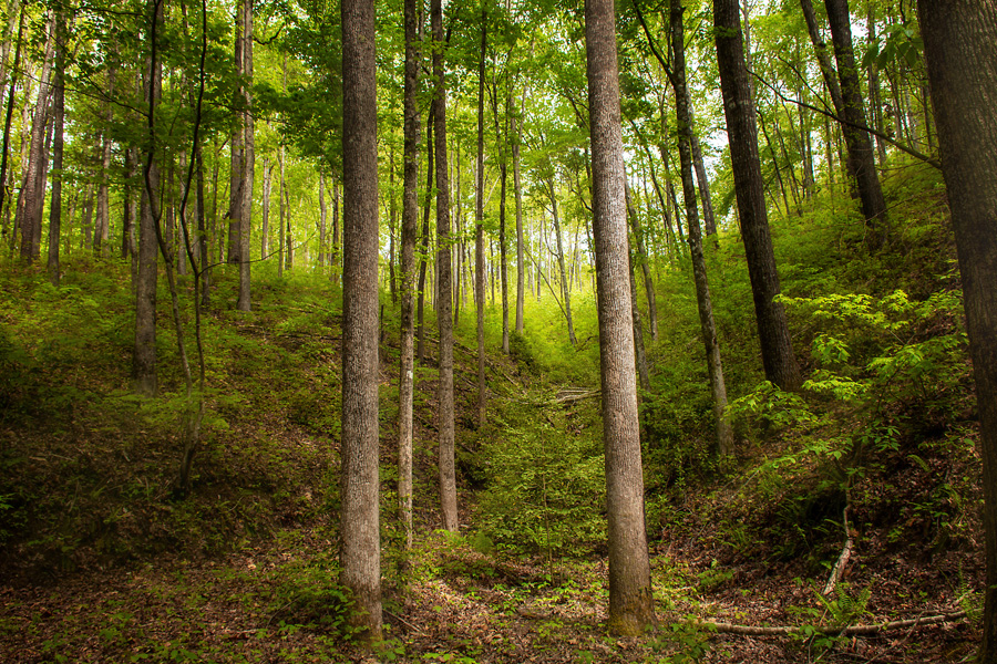
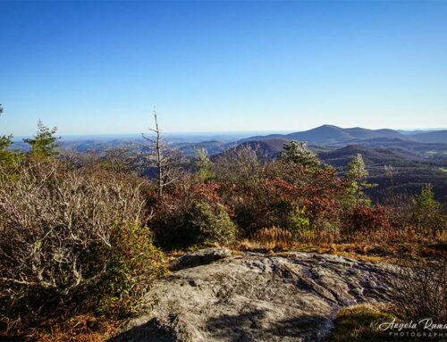
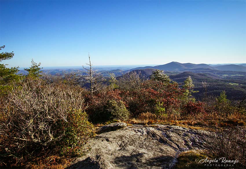
This was and is a beautiful little hike. I think round trip was close to 2 miles, maybe more like 1.5. It is remote; it is isolated; and I would suggest not going alone. (I sound like my Momma!) But it’s pretty much off the grid.
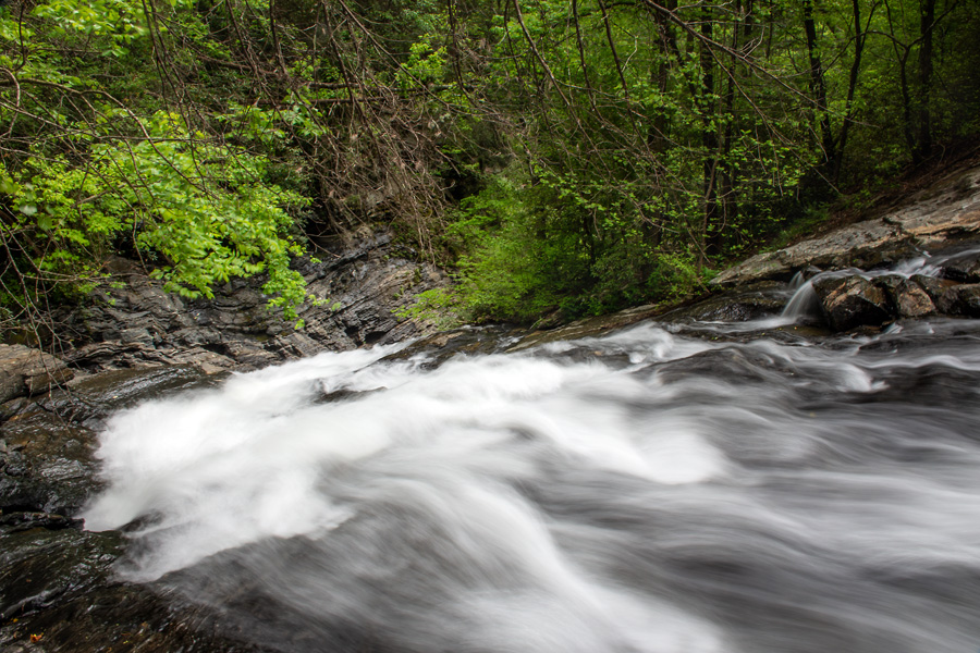
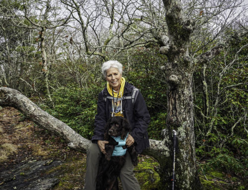
Some of you are so strong that you will be fine going with just one trail buddy. Pat and Anne were with me and I felt very safe. The trail is level and you have a feeling of being in J.R.R. Tolkien’s “woods.” The water falls are rated as good. When I stepped down in front of Cedar Creek Falls, I was surprised at the natural beauty. So, I would give them a good plus rating. Getting down to them required a little bit of a scramble but nothing like going to Sid’s Falls. Sid’s Falls was an extreme find and adventure!
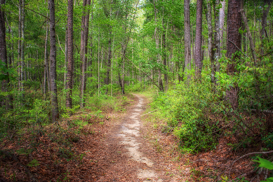
The pathway—is simple. I have been telling myself during these days: “Don’t fear the uncharted path.” I see everything as an adventure waiting to be explored!

I want to think that these are wild phlox. But I need Lloyd Fox to tell me if I’m right! I think they are—they lined the roadway and the pathway. We actually dug a couple of these up.

Cedar Falls is only about ten feet tall and is beautiful. We stepped down onto the rocks and were amazed at the area–it was fantastic! This is an excellent Sunday afternoon hike or a Saturday afternoon. We did see three other people there but just note the fact that it is a very isolated (dirt road) adventure.
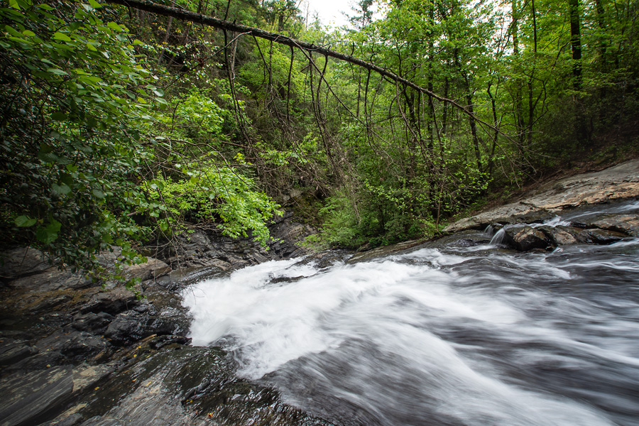
Milky water as it rushes down to Blue Hole Falls, which is a gorge area. I can’t wait to go back with a tripod and photograph these falls properly. I keep using my monopod, which is next to impossible to do. And yes, I’m using an ND filter . . . and having fun!
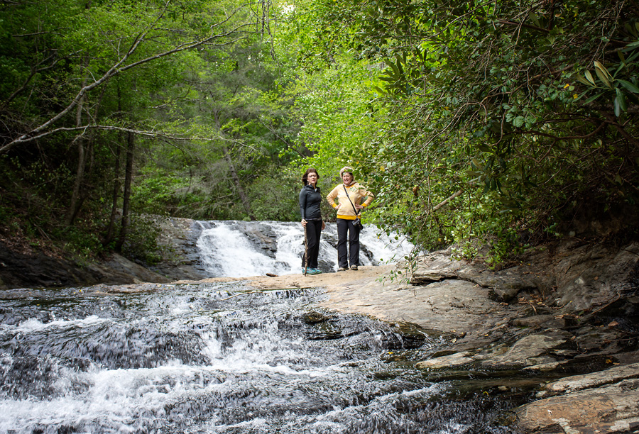
Pat and Anne watch as I walk down nearer to Blue Hole Falls. The rocks were dry. Pat joined me and Anne stayed behind.
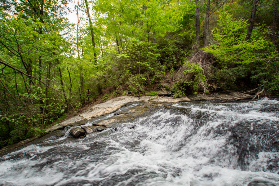
Looking across the water to the other side I spotted a guy coming back up a trail. His dog is a speck on the rocks. We had “loosley” kept him within eyesight. Pat said she watched as he crossed the river and almost fell down on the other side. We all left the area at the same time and he thanked us for still being there. He was concerned that if he slipped while climbing around on the opposite bank, no one would know. And he was right. I don’t think any of us would have heard him call out for help. The water was running too high and the roar too loud.
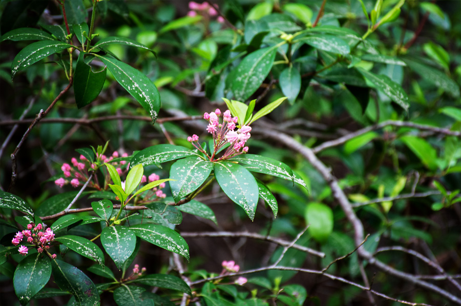
Mountain Laurel is almost blooming. This week, I’m sure it is open!
Here are the directions: Take SC Highway 28, turn left onto Whetstone Road. Go .6 mile and turn left onto Cassidy Bridge Road. Drive on Cassidy Bridge Road for .8 mile, and turn left onto Rich Mountain Road, which is FS744. After 3.2 miles, turn right onto FS 744C. Drive 2.4 miles on FS744C, and park at the entrance of FS2658 without blocking the road, GPS 34.76174, -83.18584. It is important to look for the Forest Service thin brown sign posts.
Cedar Creek Falls is above Blue Hole Falls. The entire hike to the base of Blue Hole is approximately 1.3 miles round trip. From the car, hike down FS2658 for .3 mile. Turn left to follow the path. You will see two large rocks. Follow the path for less than .1 mile and turn left onto a trail. There is another faint path before this one that leads to nowhere, so be sure to take the second path that is further down the path, GPS 34.76163, -83.18898. This will lead you to the base of Cedar Creek Falls. The hike down is steep so take care. I used a trekking pole. Actually, we walked on to what seemed to be the third pathway to the left. Just check the paths. You will see and hear the rushing water.
Leave A Comment