
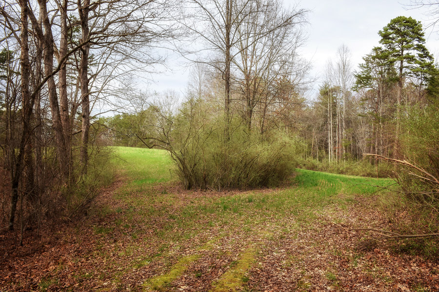
This has to be one of the safest places on earth right now because it is isolated. The hike to Sid’s Falls begins with a friendly open, rolling pathway. In fact, when I saw the path, I thought: “Easy, easy, easy!” Was I ever wrong!
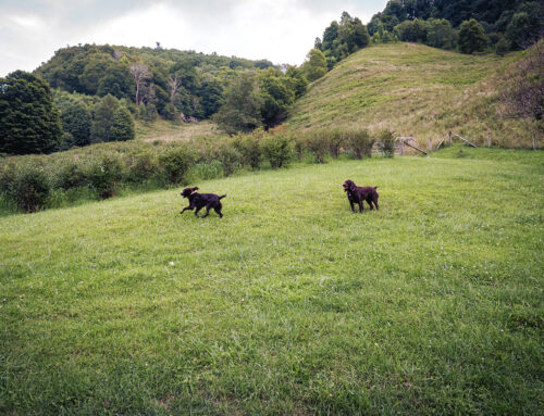
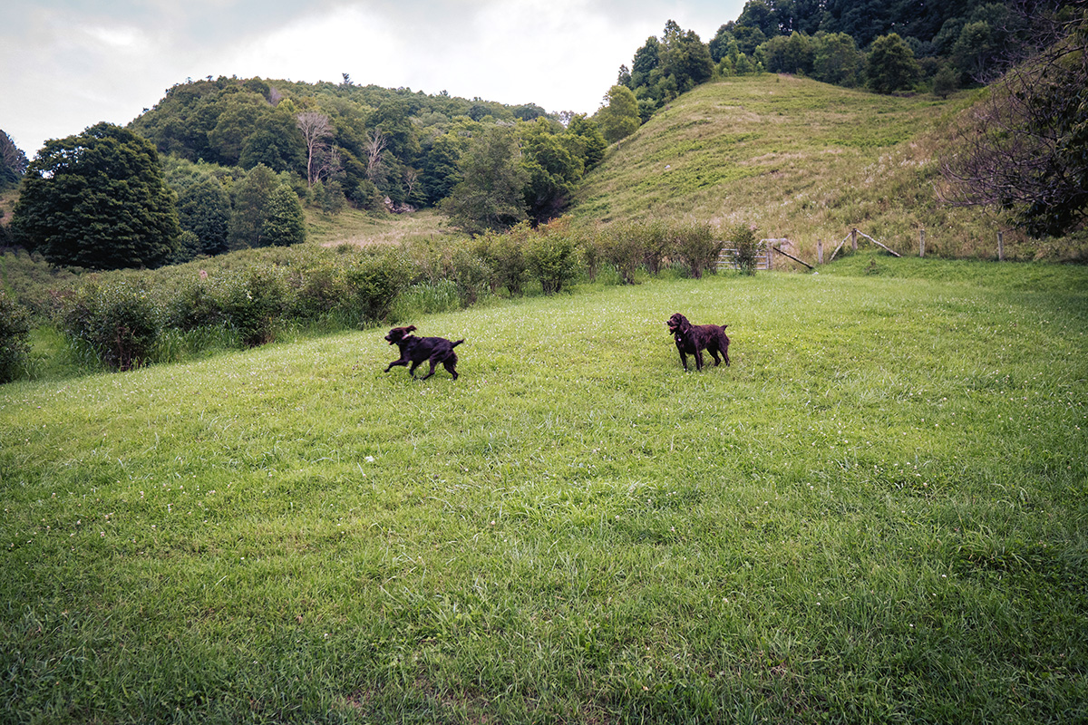
Off I went—passing three wildlife viewing areas. . . and there was plenty of evidence that wildlife was present! But that didn’t stop us from hiking on. The first part of this short 1.5 mile hike ends at the fourth viewing area and that’s were the easy part ends, too.

On the way to the fourth wildlife area, the hike winds in and out of dense forests. The area just looks like South Carolina—less rocky than North Carolina and a well-cover pine needle floor.
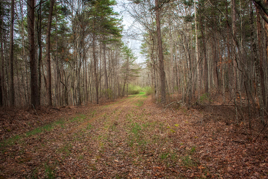
At the back of the fourth field, you will find an opening to a narrow pathway that travels through a fairly young forest. I say young because this one area was hit by hurricane force winds in 2009 knocking down larger pines and blocking the original broader pathway to the falls.
This narrow trail quickly goes from moderate to difficult. In fact, shortly after entering this section of woods and for the next .4 mile the hike becomes very difficult.
Sid Falls is named for Sid Ballenger, who along with his two friends, Maxie Duke and John Danner, hiked to every know falls in Oconee County. They also published the first waterfall book of Oconee County waterfalls entitled Some Waterfalls, Shoals, and Cascades of Oconee County, South Carolina. When Sid passed away in 1991, his widow asked that these falls be named in honor of him.

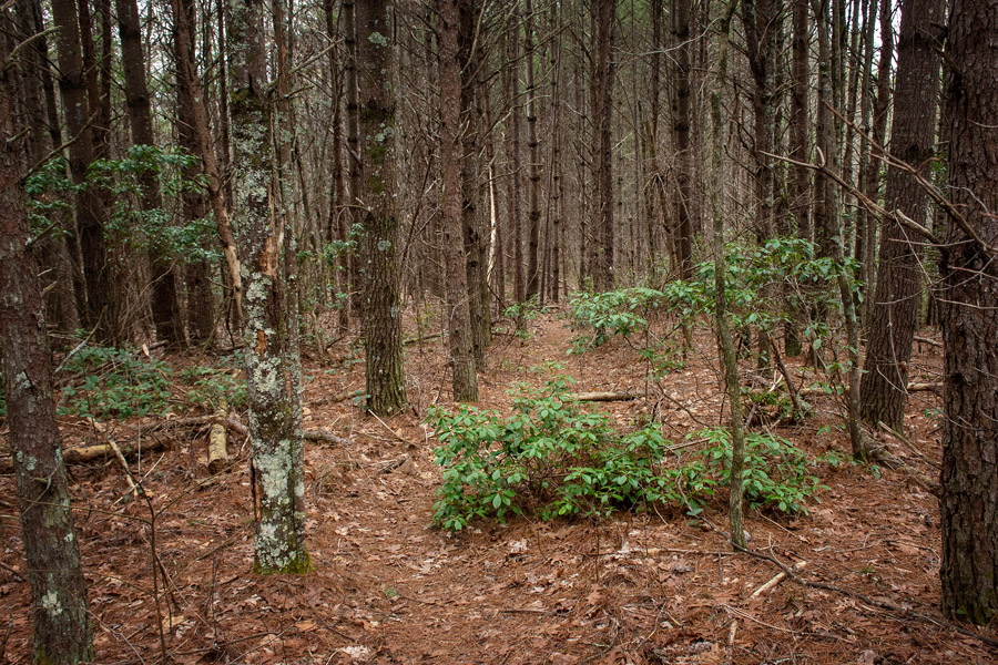
This trail has a lot of native character, so take time to notice the deepness of the forest, (you can smells the richness of the woods) and the beauty of its floor.
You hear the falls a long time before you see it through the trees. Once you realize you are close, you will want to keep going. There’s just something about a waterfall that urges me on!

I included this photo because this is how the path looks the last .3 of the hike. I’m glad I hiked this trail when I did and did not wait until later in the spring or summer when snakes, bears, and ticks would definitely be out in this area.
Because of the terrain (straight down into a gorge), I would not recommend this hike as a Sunday afternoon stroll! We hiked through thick shrubs, over fallen trees, and down a soft dirt ravine. It’s doable and, in the end, certainly well worth the effort.

I don’t know if you can tell by this photo, but the climb down is pretty much a vertical challenge. It ends and literally drops out at the base of Sid’s Falls. On the way down and the way up, I was extremely grateful for the Mountain Laurel limbs. They acted as hand-railings to the bottom and then back up to the top.
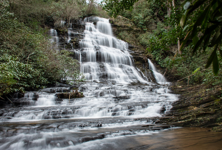
So, here is Sid’s Falls. Once at the bottom, you have a beautiful view. Other bloggers are right: there is no pathway along the side of the creek, and the rocks are slippery. I was able to sit up my tripod and take several photos while Pat ventured down the center of the creek.
She quickly reported back that the rocks were too slippery to go much further. So, I took photos from two different positions only. Then we headed back up the hillside. According to my Fitbit, the entire hike ended up being equivalent to a 15-story climb.
I will say this: standing at the base of this falls, you definitely have a sense that you have escaped the noise and clutter of the world. In fact, the entire hike was done pretty much in quietness and solitude—a rare thing.
I took a chance on this hike, and there was a big payoff — a hidden water fall that is rarely viewed. But I would not even try to hike this alone due to the fact that it is not heavily trafficked.


Leave A Comment