

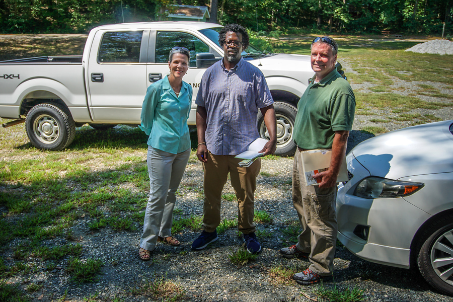
Enjoyed spending time with Sandy Campbell, who is with the Army Corps of Engineers and her associate along with Kelly Vickers. I sat in awe and amazement as I listened to them talk about the Cherokee Indians that once lived along the Tugaloo River. They also talked about Indian artifacts along the river. There was one particular one that they mentioned that I was determined to find, and I did. But I won’t share the place or the photo. It’s too special and too important to put on a blog or Facebook.

Later that evening, I did go for a walk along the river and realized that I have never hiked to Yonah Dam on the South Carolina side. I didn’t do it that evening either, because the sun was setting and it was getting late. Beautiful area and worthy of a Sunday afternoon hike.

The fishermen were out this night because the Tugaloo River was still high.

The Tugaloo River is a 45.9-mile-long (73.9 km) river bordering both Georgia and South Carolina. It was named for the Cherokee town of Tugaloo at the mouth of Toccoa Creek, near present-day Toccoa, Georgia, and Travelers Rest in Stephens County, Georgia. It’s fed by two rivers: the Tallulah River and the Chattooga River—the wild and scenic Chattooga!

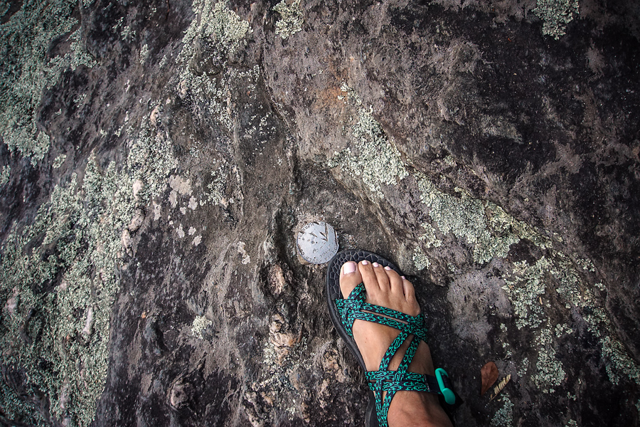
I did find the Georgia Power marker embedded in a rock overlooking the river; and sadly, it appears that over the years, people have tried to remove it, but it’s still there!

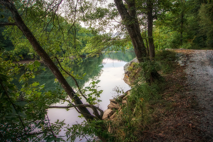
Here’s the road that runs along the Tugaloo River and goes all the way to Yonah Dam. Peaceful, a little lonely, and begging to be explored.

Evening and sunset on the Tugaloo River. It doesn’t get any better than having views like this one. The river is so difficult to photograph in the evening with a hand-held camera Tripods and a long exposure is your best bet for a nice photo of this dark-to-light area.
Leave A Comment