
Welcome to my Friday after Thanksgiving!
I have hiked parts of the Appalachian Trail (AT) for years but never long stretches. Mostly, I have backpacked and camped on Cumberland Island where the temps are mild and there are no bears!
But I’m the first to admit there’s a true mystery surround the AT and that mystery draws people to it from around the world. So, just to stand on it and hike a few miles is almost an honor.
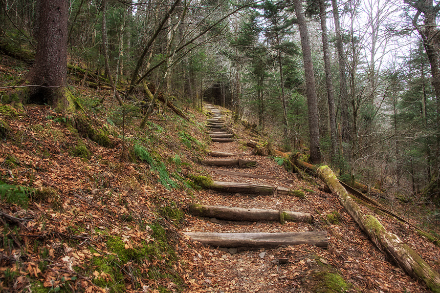
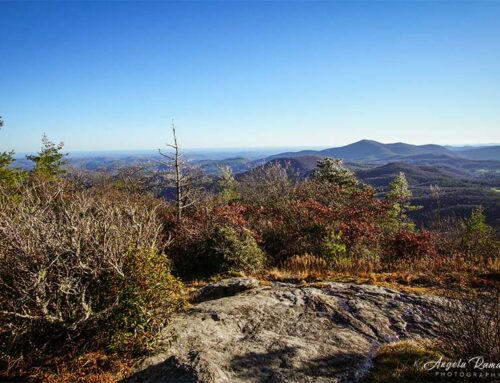
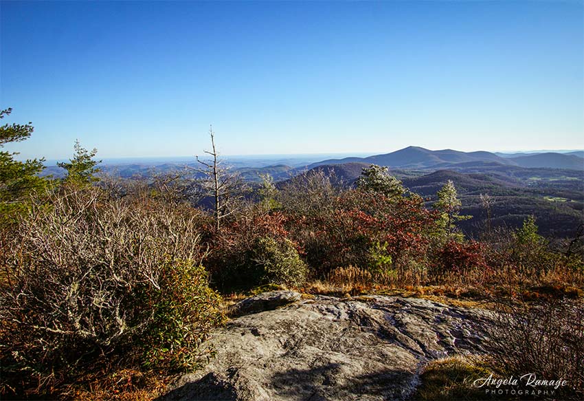
It’s a trail where daring people do daring things and many journey each year from Springer Mountain in north Georgia to Mt. Katahdin in Maine—over 2,100 miles. This short section shown in this photo is some of the most loved because of the beauty of the trail and the milder temperatures. But mild was not a word to be used on this day!
Our temps are usually in the low 60’s this time of year or at the least the high 50’s, but we hiked along in the low 30’s.
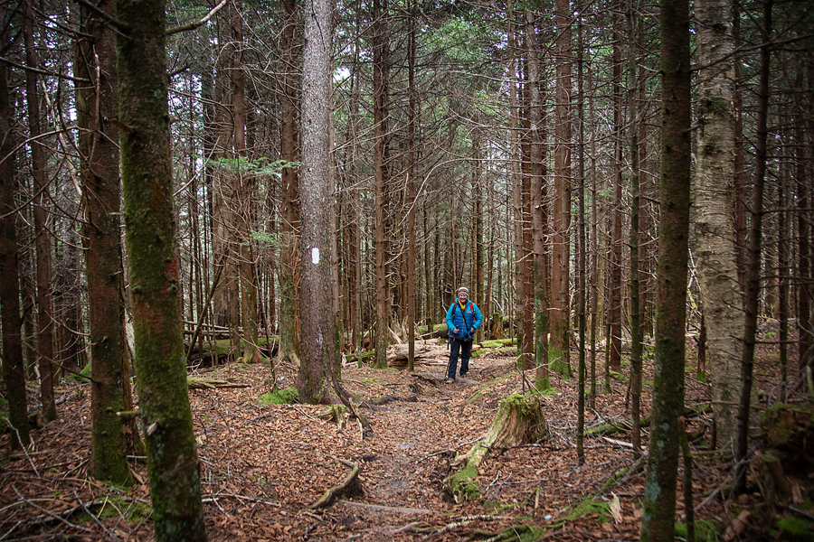
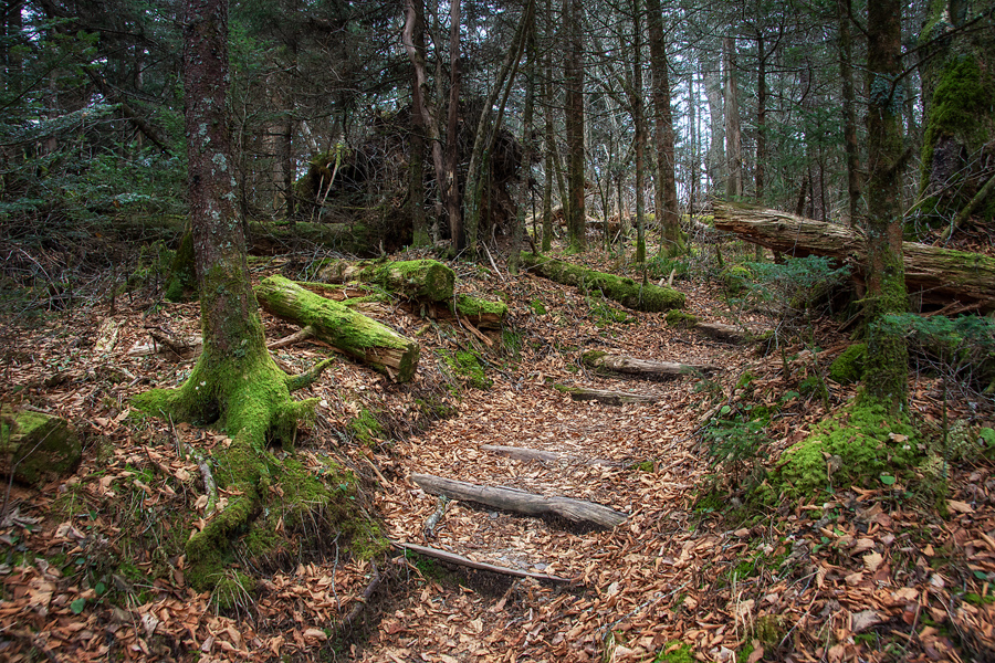
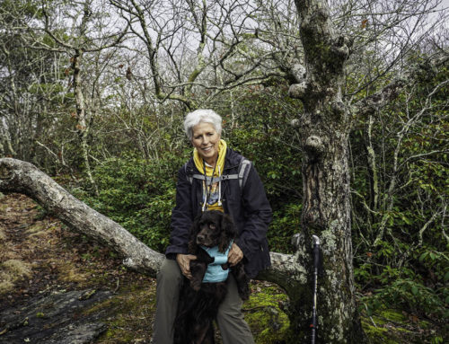
The pathway to the Mt. Collins’ shelter is really sweet. Soft, level, up in places but nothing too difficult. I have started walking with a Leki photosystem trekking pole, and it has made a huge difference. As I continue to recover from Chemo, this one thing has helped me continue!

This part of the trail may look familiar to you. I’m following one AT through hiker, who has gotten behind the “pack” of SOBO hikers. Right now, she’s in Tennessee heading south as I write this. In fact, she may be getting close to this very spot. She will finish at Springer Mountain before Christmas. I pray there’s no snow in the near future.

I can’t help but tap into my Cherokee Indian knowledge and say this tree looks like a “water marker.” Indians would purposefully sit on a stronger branch of a tree so that it would become bent. They did this near a source of water. Then others passing by would see it and know a spring is nearby.
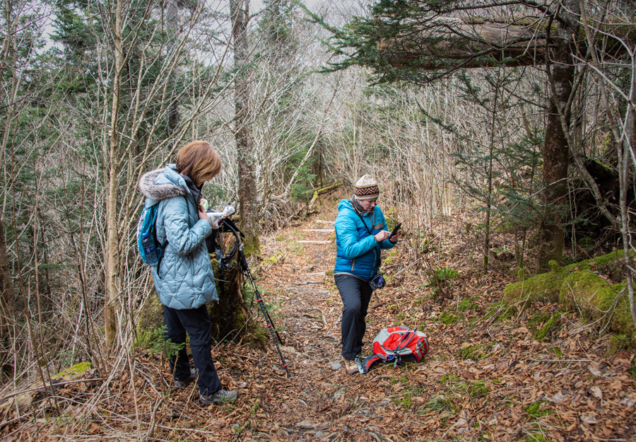
Modern Technology has invaded the hiking experience! We use coordinates on our GPS to find summits that are not marked.
Many of the mountains we are hiking do not have marked summits. As we continue to hike 40 of the over 6,000 foot peaks in North Carolina and Tennessee, we use this technology even more. Some mountain peaks include bushwacking our way to the summit. This is what we did on Yellow Face.
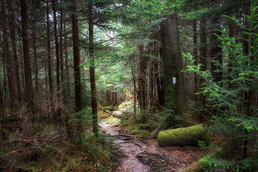
Richland Balsam Mountain did not have a summit, but it was well marked. We hiked through very dense woods to reach it. But it’s one hike I will never forget. The trail was untamed, beautiful, and so rich in late summer colors.
It was at Richland that a thunderstorm chased us back down the mountain to our car. When it was miles away, we heard it coming. It was so much fun! By the time we reached the parking lot, we looked up and saw that we were surrounded by the storm. Yet, the sun still found a way through the clouds to us. I can’t explain just how “over the top” this felt.
Months before I was hooked up to a Chemo bag and then within a few months, I was on this awesome trail going up, down, and along Balsam needle pathways with friends. The feeling was one of total freedom and gratitude to God for what He had and was doing in my life.
But on this day, we traveled the trail in this photo with anticipation and ease.

Over the last few years, I have found so many rocks that are in the shape of a heart! And yes, I drag each one back to the cottage. This one was found and saved by going into the front pocket of my winter hiking jacket. Honestly, I think it even made it all the way up to the summit of Clingman’s Dome! LOL!
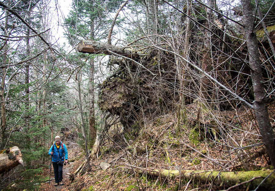
I wanted to show you what storms do in the mountain. Anne is passing by a major “blown down” tree. So many trees were down and there was still evidence of the wild fires from two years ago. But the forest recovers quickly.

On the way to one summit, we traveled through the sweetest Balsam forest. I will return to the Smokies several more times in the spring, but my heart has been captured by the Blue Ridge Parkway and the mountains in North Carolina. I can’t explain this.

The AT is maintained by local chapters of the association. They regularly come out and cut up fallen trees and reroute water paths that cross the trail. This is a small foot bridge built by the group in this area.
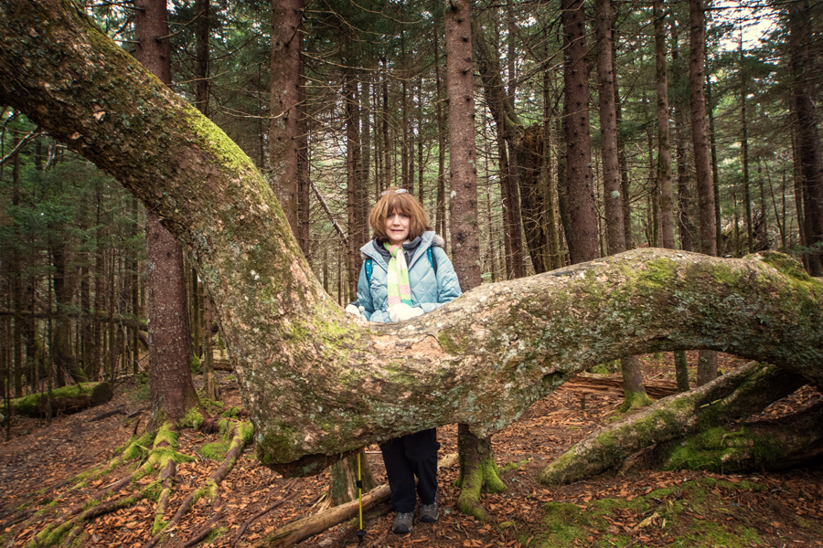
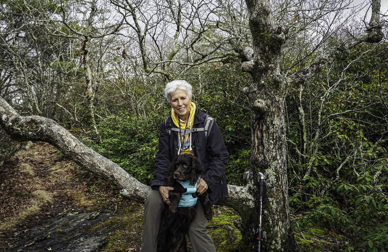
Pat is standing by another possible “water marker” tree.
Finally, I really don’t think we will stop hiking during the winter, but we will have to turn our attention to smaller mountains in North Carolina that are closer to the Highlands and areas like that. The winter is just too unpredictable at higher elevations, even here in the southern states. The lower trails in NC never close and are fun to travel in snow with a 4-wheel drive SUV! So we are ready for winter and for Whiteside Mountain—a favorite.
Leave A Comment