

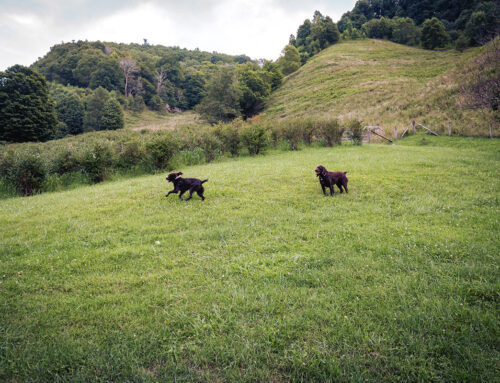
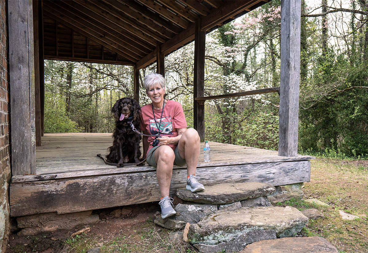
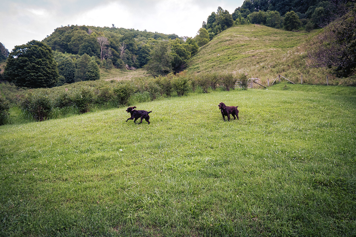
Opossum Falls (also called Possum Falls) in South Carolina is a place I have wanted to visit for a while. I can check it off my “to visit” list. The falls are located in Oconee County, and the well-kept trail (only a few downed trees) offers a great hike. I’m glad I did it before Wessy (my little Boykin Spaniel) came into my life. She definitely will be able to do this hike in the future, but now: she’s just spending her time growing!
I’ve been hiking in the Long Creek, SC, area for some time and it is a great area with lots of waterfalls. Just look up “the waterfalls of Oconee County, South Carolina. This moderate to difficult trail is about 2.4 miles each way, with some optional side hikes if you have the time.

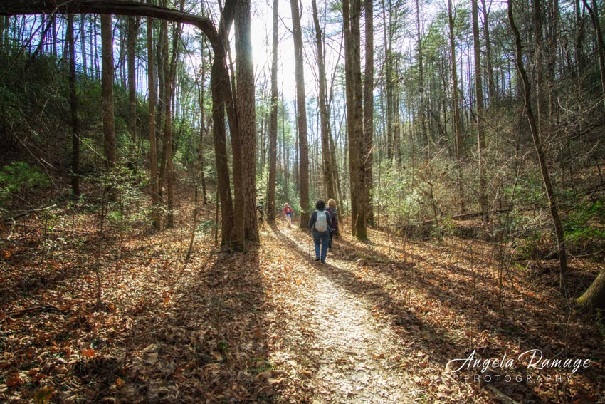
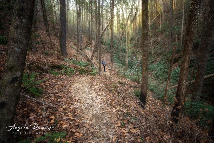
It all begins with a gentle down hill hike, but remember you are heading to the Chattooga River, so you are going to have some big downs and then some huge ups on the way back out. (I try to overlook the coming back out part!)
When we started, we thought we had plenty of time. The sun was high in the sky, but I also knew once I got to the Chattooga, I would want to enjoy the beach and the entire area. At any point, the Chattooga River is fabulous!
After about .7 miles, the trail flattens out and the ecosystem shifts into what could be called a fern glade. It is surrounded on both sides by ferns that were almost untouched by winter weather. Then the trail begins to slope up on either side and suddenly you find yourself surrounded by very tall oaks, hemlocks, and pine trees.
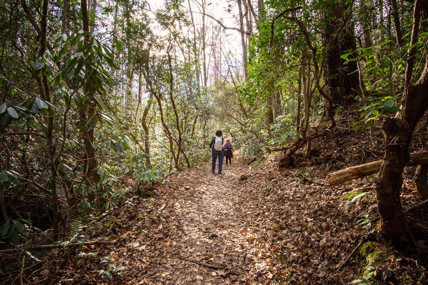
Like many of the trails in northeast Georgia, South Carolina, and western North Carolina, you will hike through rhododendron forests.

A strong climb put us up on a hillside above a ravine that had a rushing stream heading for the Chattooga! Here’s Pat right before we started our last down, down, down . . . and before we met the older gentleman, who was coming up saying that he had not realized how difficult the trail was.
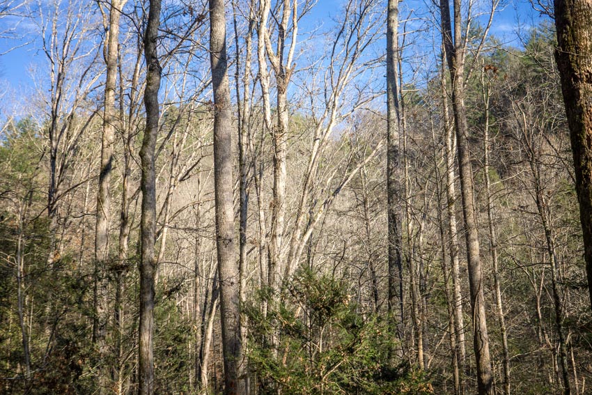
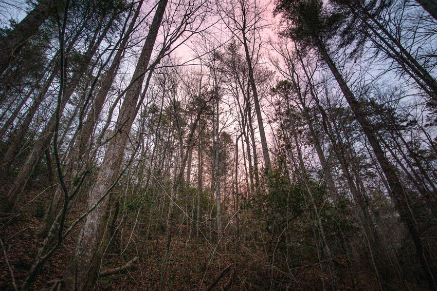
The wintered bare, hardwoods are always fantastic.

At the beach area, we stopped for a few minutes for water and a quick snack. A couple had just walked out from the falls and the woman’s final words to me were, “Don’t linger too long!”
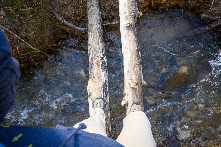
Then I decided to cross over to the beach. There was no other way to get there than by just inching my way over this small stream. I always tell myself that I got through cancer and chemo, and I don’t want to miss an opportunity to enjoy every moment of life. So, over I went!
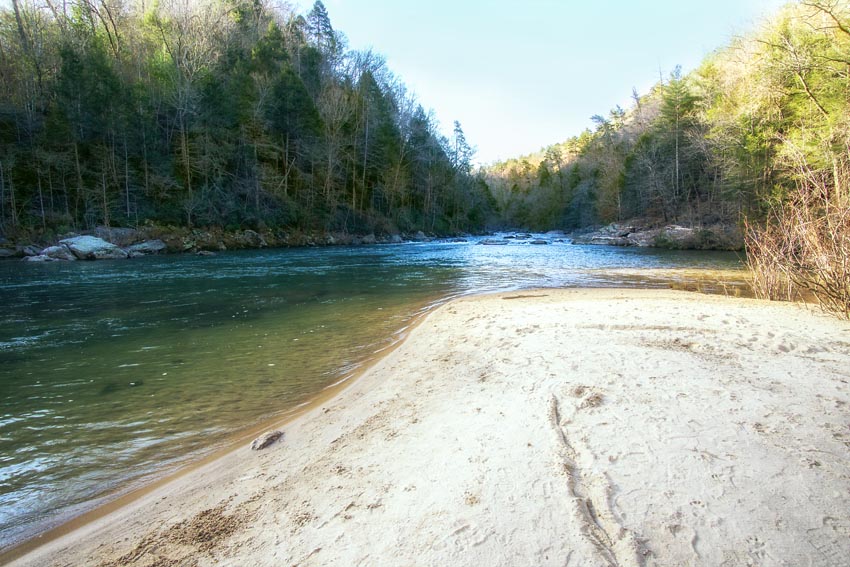
And here’s the view—a wonderful empty white sand beach on the Chattooga River!
After I crossed back over the make shift bridge, we headed up another trail .3 miles to Opossum Falls. On the way, we ran into another river crossing and all cameras were safely tucked away. This shorter section is difficult because it requires some rock scrambles but the energy put into the hike is so worth it!
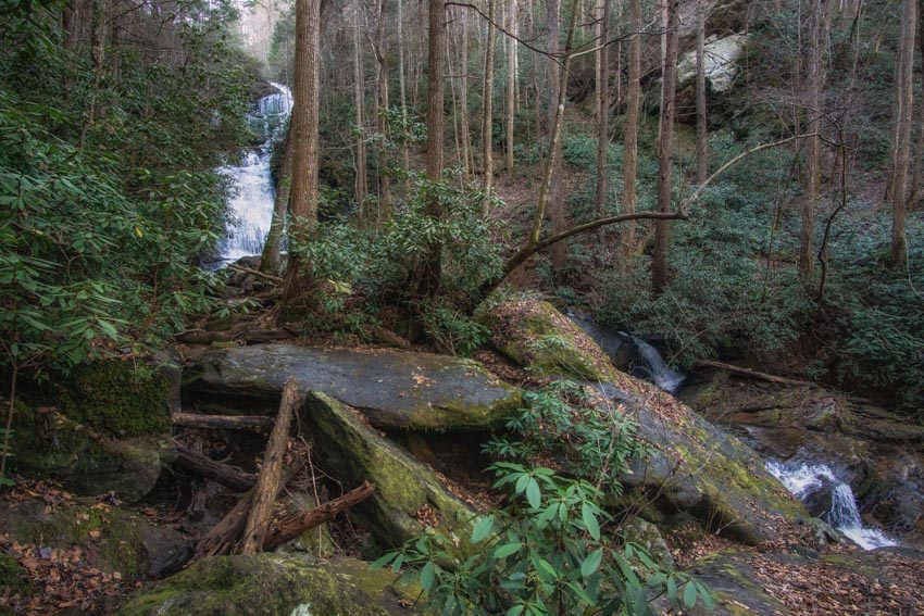
So, from the bottom of the original trail, you can also look to your left for a trail sign and walk upstream along Opossum Creek to get to Opossum Creek Waterfall.
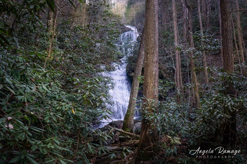
The falls are beautiful and so worth bushwacking my way to see this view. Sometimes, I wonder if I will ever be able to come back and see views like this. It is what keeps pushing me to experience new adventures. We vowed that we would return in the summer to rock scramble further to the base of the falls.
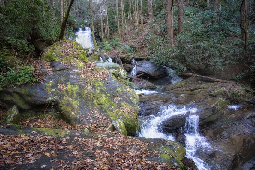
The waterfall is a series of cascades and some have written that it is wonderful to sit under on a hot day. Be sure to have good water shoes to wear in the water.

Heading back out, I told Pat that I thought we would need to pull the headlamps out again, but she thought we would make it!
She just kept blazing a trail out.
But at last, the darkness started to overtake us. With the headlamps out, we moved quickly. This trail was so different than coming down from Blood Mountain. Honestly, coming out of this area was a little creepy because we were walking through a deep ravine.
Once we were on the top near the trail head, we celebrated. There really was a little light left. It had been a great hike, with wonderful views, and an outrageously beautiful waterfall that not very many people hike to see.
Here are the directions: Take Hwy 76 to Long Creek, SC. Turn right on to Orchard Rd. At the dead end, turn right on Battlecreek Rd; go approx. .5 miles and turn right on FS755 or Turkey Ridge Rd (the sign is often missing – it is after a left curve in the road and is the 2nd of two gravel drives which are close to one another). Drive 2.3 miles to the trailhead. There is a parking area just past the trailhead on the left. It is pretty well marked. Go a little further and you will see the trailhead for Long Creek Falls!

Leave A Comment