
There’s a 30 foot fire tower or lookout tower on the top of Wesser Bald, and we want to visit it again. We took a dirt road through the beautiful Telico Valley to Telico Gap. (See directions at the end.) The road to get there is a little rough, especially the last mile, but any car make it. Just go slow and watch for oncoming truck/cars on their way back down. There are several “hairpin” turns. Honestly, I prefer taking a 4-wheel drive SUV or truck.
When you see the large Appalachian trail sign, you have reached the parking area for the trailhead. There are only a few spaces; but as usual, people create their own. This parking area splits the Appalachian trail, so be sure to take the the trail on the left to the Wesser Bald tower. It is distinct because there is also an old roadbed that goes up the mountain. Avoid taking it up if you want to experience the AT! The roadbed is steep and disenchanting.
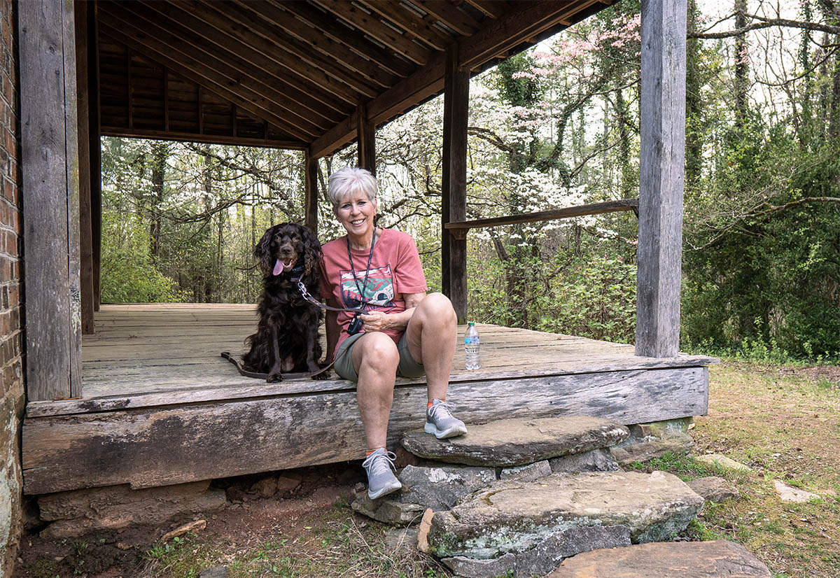
Above is Anne opposite me on the wooded AT.
We hiked on a Saturday and did see a few other people during this COVID moment. Amazingly and as we have found, as people hiked toward us, they stopped and moved over to the side of the trail, and we did the same. We just ease by and still find a way to say hello.
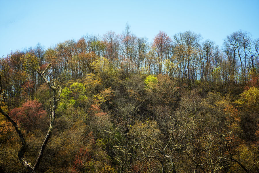
I just had to photograph these multi-colored trees on the way up the trail. One blogger explained how the colors of spring in the mountains can actually look like the colors of falls. I never thought of that but in a way they do.
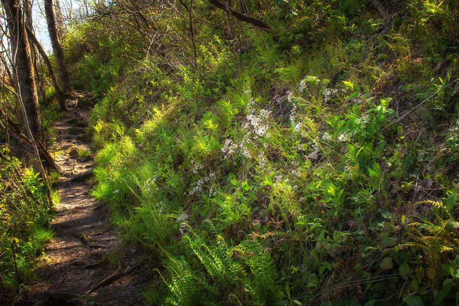
The trail ascends the entire time at a good incline with little-to-no mountain views in the summer. You are hiking in “green.” The incline is steep but the trail is great—no rock climbing.

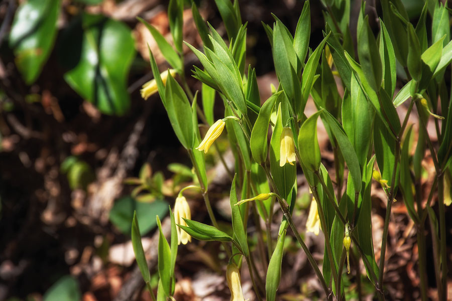
As usual this time of the year, the path is dotted with wild flowers. Suddenly, I’m in love with the native azaleas this year. They are showing off a lot!
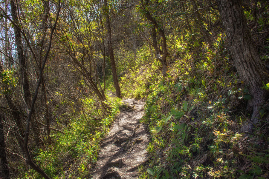
I think I have written this before but when you hike this trail, you get a feeling of what it is like to be on the AT in Georgia. The trail is clean, but it almost looks like it needs a quick visit from ATC maintenance workers.

So, we have gotten to a point where we are finding things on the trails. Rocks painted with a message seems to be the latest “thing.” Lindy found one and Anne said she did, too. You can either keep these or put them back for the next hiker. I thought this one was cool because it matched her jacket.
Yellow was the theme for this day. Yellow jackets, rocks, sunlight, and flowers. The mountains, at the higher elevations, are well on their way to waking up!
Again, wildflowers are along the path. We probably should be out earlier in the morning, but with moms that need to be visited and other pressing demands, it seems our hikes are geared more toward the afternoons, which means the sunlight is warmer and more welcoming. I can look through my photos of this hike and almost see the changes of the daylight. Light is what it is all about.

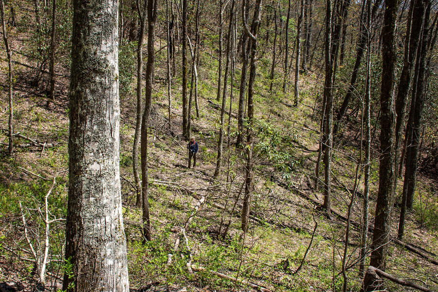
So, here is a ridge line, which I love because it always has a feeling of being on top of the world. We still had another major push to the top; but at least, we had this short moment to take in the pureness of the AT. See if you can find Lindy in and among the trees!
Once you complete the 1.4 mile ascent with no turn-offs or branches on to other trails, the trail ends at an opening and you have an incredible view but more is to come. At the summit, the AT turns to the left and the very short trail to Wesser Tower is on your right.

The deck at the top is expansive. The original fire tower was built in 1936 by the Civilian Conversation Corps as a live-in lookout. These old fire towers have become quit popular destinations for hikers over the last few years. I’m on the hunt for more of them. Many are being restored and preserved. The cab at Wesser was destroyed by arson in 1979 and replaced in the early 1990s by the USFS with the current observation deck for hikers.

We made it to the top! The tower has no walls or roof and probably is a great place to stargaze; and if the weather is good, camp on top. If the weather isn’t great, camping below could be nice. Plus, there’s a fire pit located near the footing of the tower. There is no water sources on Wesser Bald, so bring plenty. I’m not a “camper,” so I’m just writing away at all of this for all of you who are—campers!

Lindy had written a verse from Jeremiah 29 in a post on FB earlier in the week. I remembered it and thought it was our God moment of the trip—though we did have another one or two. This verse was one of the first things we saw when we got to the top. “For I know the plans I have for you, says the Lord.” My paraphrase!

Some place out there is the rest of North Carolina!

One of the best things I have done over this past two years is to begin to use treking poles. Easy ups and easy downs with these! We all had one! Sometimes, you don’t need more than one.
You have two options for the return hike: take the sort of steep fire road to your left or descend back down the 1.4 mile trail. As always make sure to leave the trail better than you found it.
Here are the directions from Franklin, NC: To reach the trailhead in Tellico Gap, follow route 28 North 12 miles out of Franklin. Turn left across the white concrete onto Tellico Road and bear right to follow this road as it climbs 8.3 miles through scenic Tellico valley, passes Tellico Trout farm, and finally climbs steeply up to the gap atop the ridge. It’s paved the first 3.8 miles. You’ll see the AT sign and parking spaces. Follow the Appalachian Trail North – (away from the power-line and starting next to the fire-road). This hike leads to a unique 30 foot tall fire tower that offers 360 degree unobstructed vies of the Nantahala National Forest, Fontana Lake, and the Little Tennessee River Valley.

Leave A Comment