

This is one of those summers when all it seems to do is rain. I guess I could get frustrated but I usually don’t, especially when a camera is involved and when I believe you can learn from rainy days that you can’t learn in sunshine.
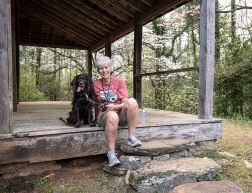
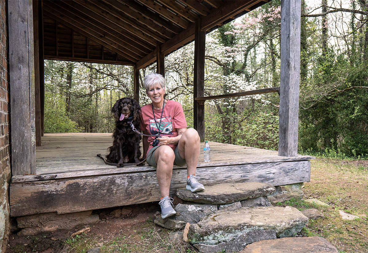
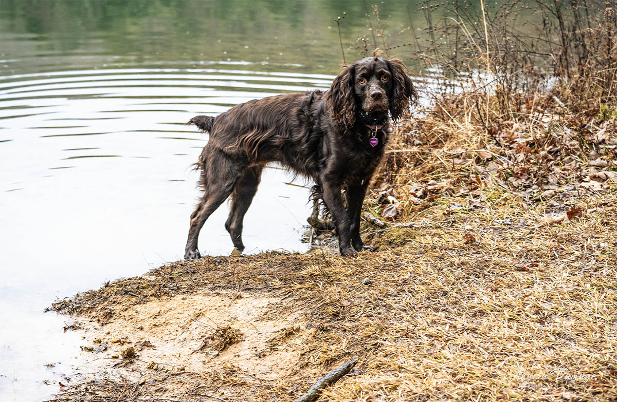
Last week, a few days after I said goodbye to Cocoa, I got in the car and drove to one of my favorite quick places to visit: Wayha Bald! Usually, the view is like this (if you follow the link), but on this day at 5,342 feet, I was in the clouds and it was overwhelming. Driving up to the parking area, I instantly realized that I would be in for a treat with fog and light rain.

Wayha Bald is in the Nantahala National Forest, near Franklin, North Carolina—a not-too-far-away place for a quick escape! On a clear day, you can see north to the Great Smoky Mountains in Tennessee and south into the foothills of Georgia. The hike to the tower is not a hike but a short walk from the summit parking area. The old stone fire tower, built in 1937 by the Civilian Conservation Corps, was used to keep watch over the southern Appalachian mountains until the 1940’s.
The tower sits squarely on both the Appalachian Trail and Bartram Trail and is listed on the National Historic Lookout Register

Please note that I now carry a poncho with me! In fact, I have two that I squirrel away in my day packs or camera bags.

There was no view on this day but that was okay there were plenty of clouds rolling over the Bald’s summit.

Perfect day for a drive and a cup of coffee!

And this is one reason I wanted to go up to the Bald: a Turk’s Cap Lily! I was afraid I would not have an opportunity to see this really special lily this summer.

In fact, with time moving so quickly and fall around the corner, I realize that I’m missing the summer wild flowers of the Blue Ridge Mountains.

Loving the rain on the sweet roadside yellow flowers!
Directions to Wayah Bald Lookout Tower. From Franklin, North Carolina, travel west along US 64 (Mountain Waters Byway) for 3.7 miles and turn right at the Wayah Bald directional sign (right on Old Murphy Road/State Road 1442, then make a quick left turn onto State Road 1310/Wayah Road). Go 9 miles, turn right onto unpaved National Forest Road 69, at the top of the ridge at the Appalachian Trail crossing, and go 4.3 miles to the end. Forest Service Road 69 is a nice road that is well-kept. It has a packed gravel surface, so no 4-wheel drive is not needed. I didn’t know this but the road is closed from January to March.

Leave A Comment