

We started out with a destination of Franklin, North Carolina thinking it would be fun to go a Scottish Festival. The real action happened earlier in the day, and we were left to wander through a half vacant city. But we purchased hiking shorts and shoes and other things. This city is not far from from the Appalachian Trail (AT)—one of the longest hiking trail in the world (2,200 miles). While I’ll never hike it, I admire those who do or try.
As activity in the city dwindled, Beth suggested we drive to nearby Wayah Bald, located on the AT. I’ve never been there and have to say that it is one of the most beautiful places we have visited in some time. Elevation at the Bald is 5,342 feet.
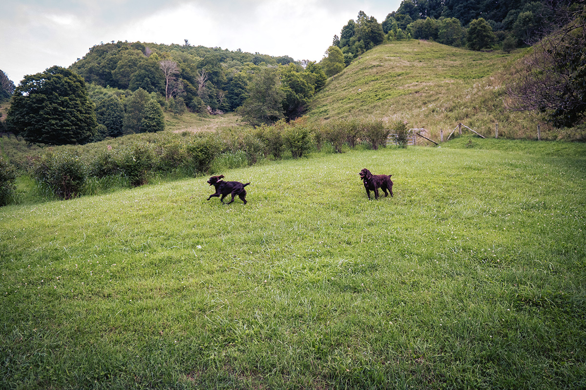
Beth seems to love North Carolina Balds. They are open, sunny areas that have grassy areas or close-to-the-ground vegetation but usually not tall fir trees. They are beautiful and this one is especially wonderful because it is in the process of regrowth after wildfires left it devastated last year.

Up until the mid 19th century when a bounty lead to their eradication, this area had quite a large population of Red Wolves. In fact, “Wayah” is a Cherokee word for “wolf.” The tower on the Bald was built in 1937 by the Civilian Conservation Corps. It was originally used for fire detection and rose 60 feet above the summit.
Wayah Bald Lookout Tower is one of the best places for views of the Appalachian Mountain and the Nantahala National Forest. Over the years, water seriously damaged the structure. In 1947, the top two floors were removed; and in 1983, a hemlock-beam and cedar-shake roof was added—making it pretty cool as a destination.
North Carolina has a line of older fire towers that were built in the 1940’s. They were still in use in the ’60s but today they are only visited by tourists and hikers.

At the top, we enjoyed open views and also noticed the left-behind evidence of last year’s wildfires. The Appalachian Mountains are in the background of this photo. This was not a clear day, so we could not see forever! But we certainly enjoyed plenty of wild flowers and the crisp mountain air. It was definitely much cooler on the Bald than in the city below.

Beth hiked down and into the forest on the AT photographing wild flowers. I wonder when someone laid this pathway?
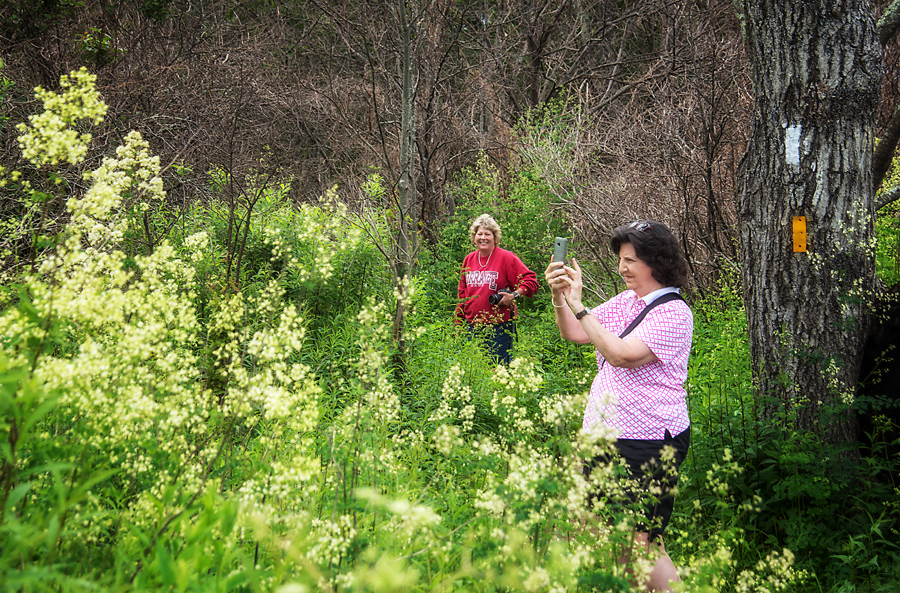
In fact, Anne did, too. The white blaze and yellow blaze in the background mark the AT and the Bartram Trails—the two trails meet and merge in a very “happy” yellow wood. (smile)
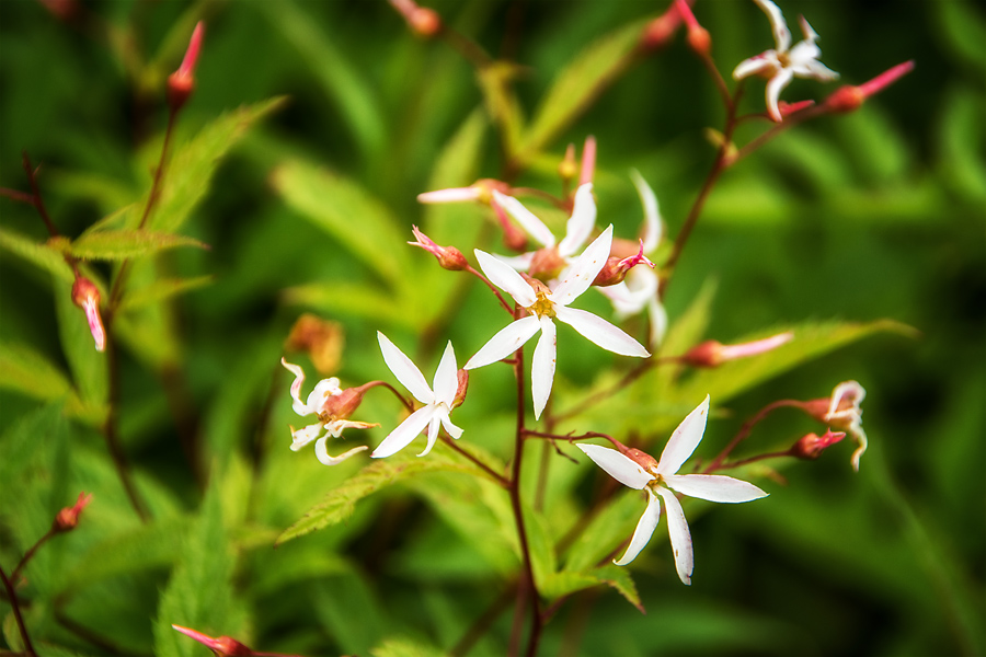
I have no idea what this flower is called. I just know that I thought it was pretty “note-worthy.”
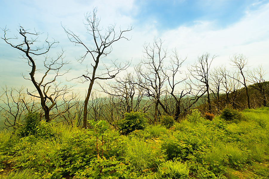
Old and new. Destroyed and revived. The forest vegetation is returning after wildfires caused so much damage. Even the tower did not escape damage.

I have kept up with people who have hiked the AT. Many keep online journals. That’s how you make friends by writing back to them as they journal about their progress and walk the distance from north Georgia to Maine. These journals reveal amazing stories of human determination and the fun that comes with any journey worth traveling.
In North Carolina, the ATÂ follows the ridge line through the Nantahala National Forest. We were there during a summer shower and clouds pass over areas like this quickly. You may think you are in a foggy area but you could actually have “your head in the clouds!”

Leave A Comment