
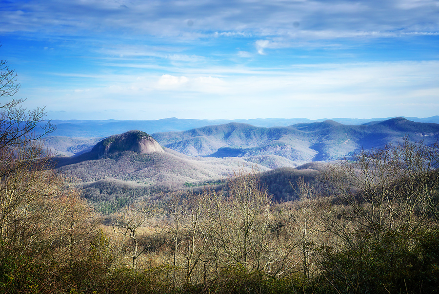
There is a reason why they call it the Blue Ridge Parkway. No amount of adjustment can change this color, especially in the late afternoon. Blue is the color of the mountains in the later afternoon, right now. Though it will remain blueish even in summer.
On this day, we were not looking to hike over 6,000 feet, but we were looking for a beautiful trail and we found one. I always leave these mountains with a desire to return. There is something about being up this high that is as enchanting as it is relaxing. The feeling of just “being there” lingers for sometime even though I’m miles away.

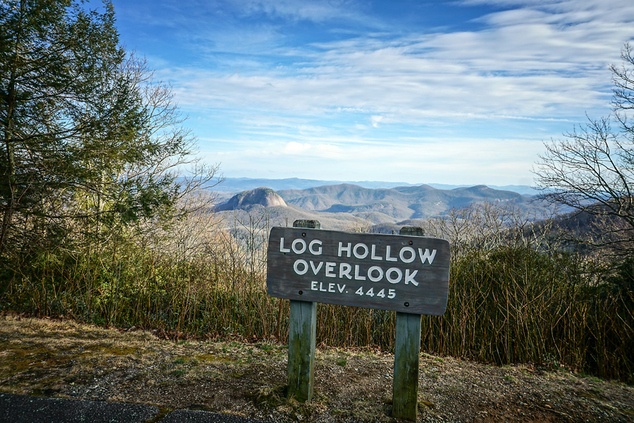
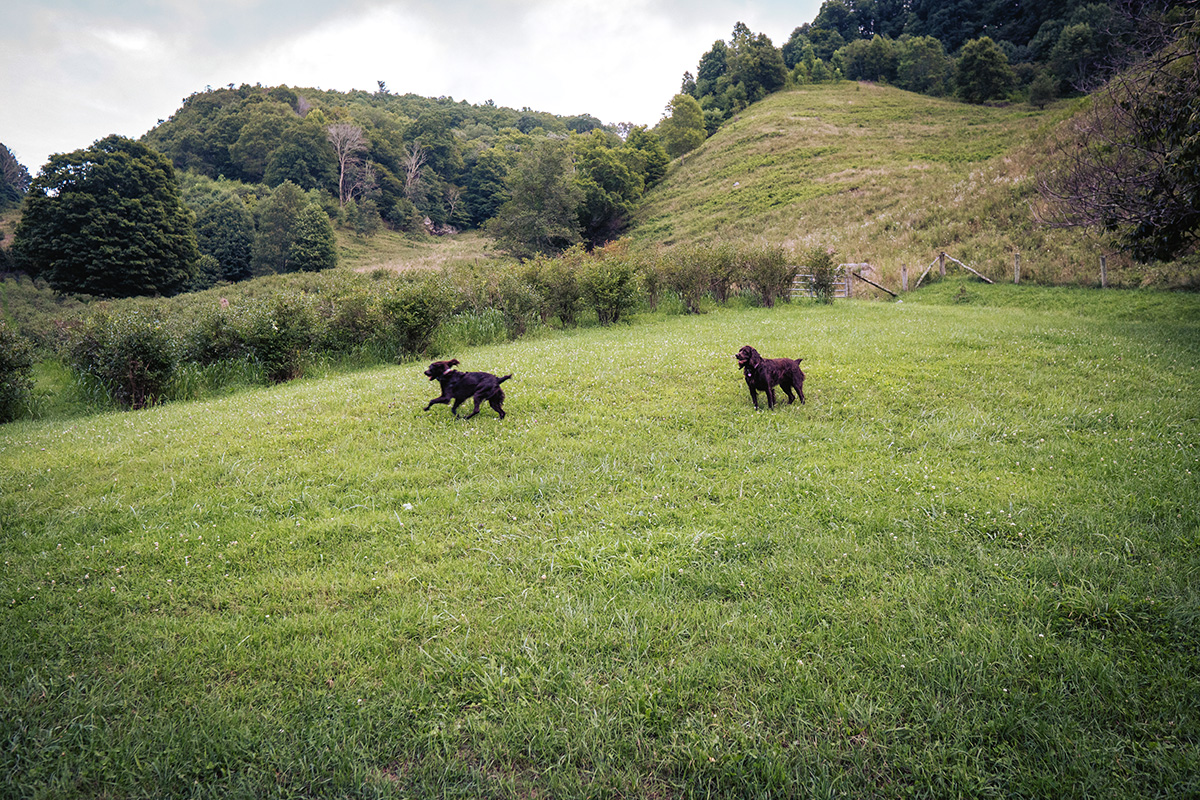
Graveyard Fields is spacious, and the views are awesome. But we did not have time to hike the entire 3.2 mile loop. I admit that in the above photo my eyes are on the mountains in the background. Tennent Mountain is in the mix somewhere and it’s one of our next over 6,000 feet goals for spring!
This is a popular hiking trail on the Blue Ridge Parkway (Milepost 418.8) south of Asheville, North Carolina. The Yellowstone Prong is the water source for the two waterfalls in a mile-high valley that is filled with wildflowers, especially in the summer. It’s surrounded by the 6,000-ft. peaks of the Blue Ridge Mountains. It got its name years ago from the tree stumps that look like grave stones in a graveyard setting.
Several hundred years ago, the trees were toppled by a huge wind. In 1925, an intense fire burned the area, which had been logged. The forest was slow in it’s recovery, and the remaining charred stumps earned the area it’s name because it looked like there were “gravestones” in a field.

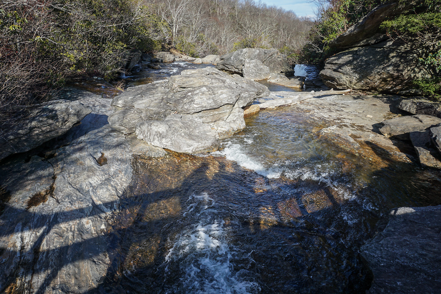
I read that it is one of the few hiking places along the Parkway with restrooms, though they were closed on the day we were there. (Winter) The lower falls, which are the prettiest, is a short hike from the second parking area. Lower (or Second) Falls in photo above is just 1/3 of a mile hike from the parking area.
While it’s a short hike, there are quite a few steps and uphill sections on the way back. We started from the overlook on the Blue Ridge Parkway. There is a map on the sign that shows the entire trail.
It descends down a paved pathway through a thick patch of rhododendron and on to steps and to a really cool wooden foot bridge. You turn right along the trail until you come to the first trail intersection. Go to the right and you will descend a long flight of steps to viewing platform for Lower Falls (Yellowstone Falls). We got an even closer look from the boulders at the base of the falls.

Pat looks up river in this late afternoon photo.
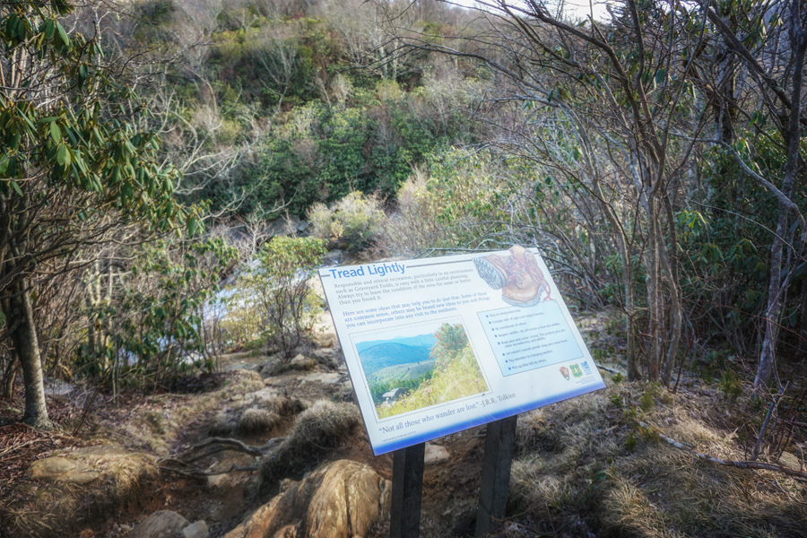
Not all who wander are lost! The overused J.R.R. Tolkien quote was at the based of this trail marker at the top of the falls. His words show up everywhere in these mountains!

So, the moderately easy hike into the ravine is mostly built out with boardwalks and stairs. Remember what I always say, “What goes down in North Carolina has to come back up at some point.”
At the bottom, a bridge crosses the river and leads to the fields, continuing on to the wooded loop trail. The climb out is moderate but all up hill. I felt badly for one lady, who got out of a car that had a Florida tag. She asked at least three times if we thought the walk down was worth it. We said yes but I could tell that she was totally out of shape. We encouraged her to try but we were also honest. A few minutes later she drove away.
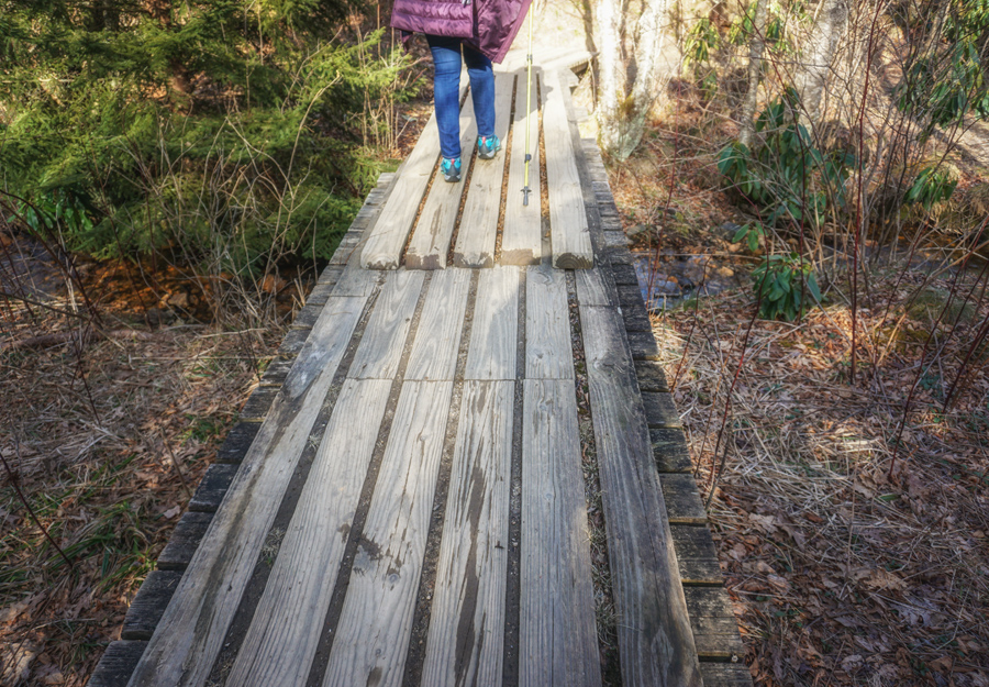
I love how the Park Service has placed boardwalks on this path. They are cool to photograph but even more fun to walk.
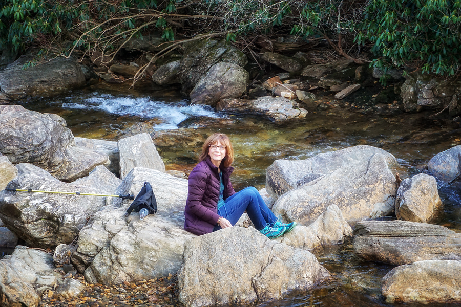
Pat: sitting beside the river? Nope! Collecting rocks from the water!
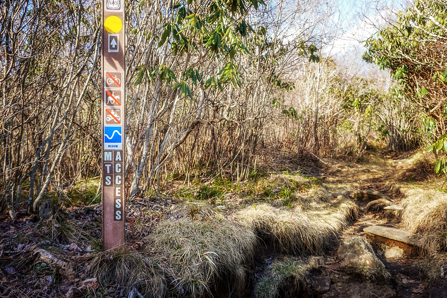
The Mountains to Sea trail crosses the Graveyard Fields trail. My friend Beth is always wanting to hike this trail to the Atlantic Ocean. I just don’t think I want to do overnight camping in wilderness areas!
For a closing shot: Our shadows in the late afternoon sunshine—then it was on to the long drive home.

Leave A Comment