


This was the first day we have paddled just over a week ago, and we wanted to explore the lake before the levels increase. Notice the shoreline in this photo; Lake Hartwell is struggling to get past the major decline from an almost year-long drought.

All the rocks behind Pat are usually underwater but you can still have fun on the water here. You certainly don’t need a full pool to enjoy the adventure of kayaking in northeast Georgia.
One of the things that happens when the lake level drops is that “things” emerge that are usually hidden under the water. Here’s what is left of the Jarrett Covered Bridge that was built in the 1700’s.
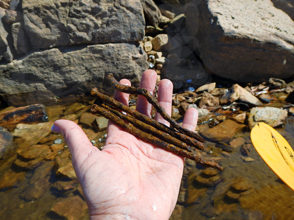
Since the water level was so low we found plenty of nails that came from the Jarrett Bridge after its destruction.

These stones formed one of the old bridge supports. Along the bottom of many, we could see where the stone masons cut into the rocks.

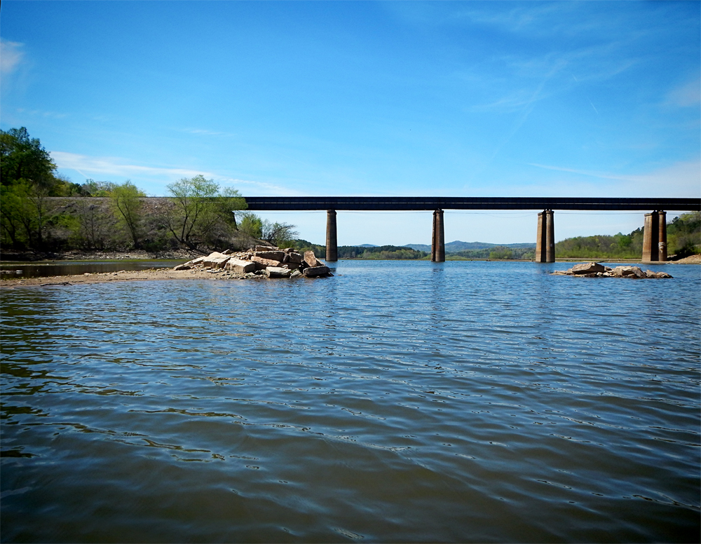
Paddling on down the river, we could see the original landscape come alive. It is hard to imagine, but there’s a faultline running from Georgia to South Carolina and some of it is visible along the rocky shores of Lake Hartwell. While this does not show the actual fault, it does show rocky areas that are covered with water when the lake is at full pool. The true fault is further up steam near Tugaloo Bend.

When the water is this low, we noticed little caves in the rocks that provide nice hiding places for animals—like lions and tigers, and bears! Oh my! I’m just kidding but we can imagine something hiding out in these areas. We looked very closely deep into them to see if we saw eyes looking back.

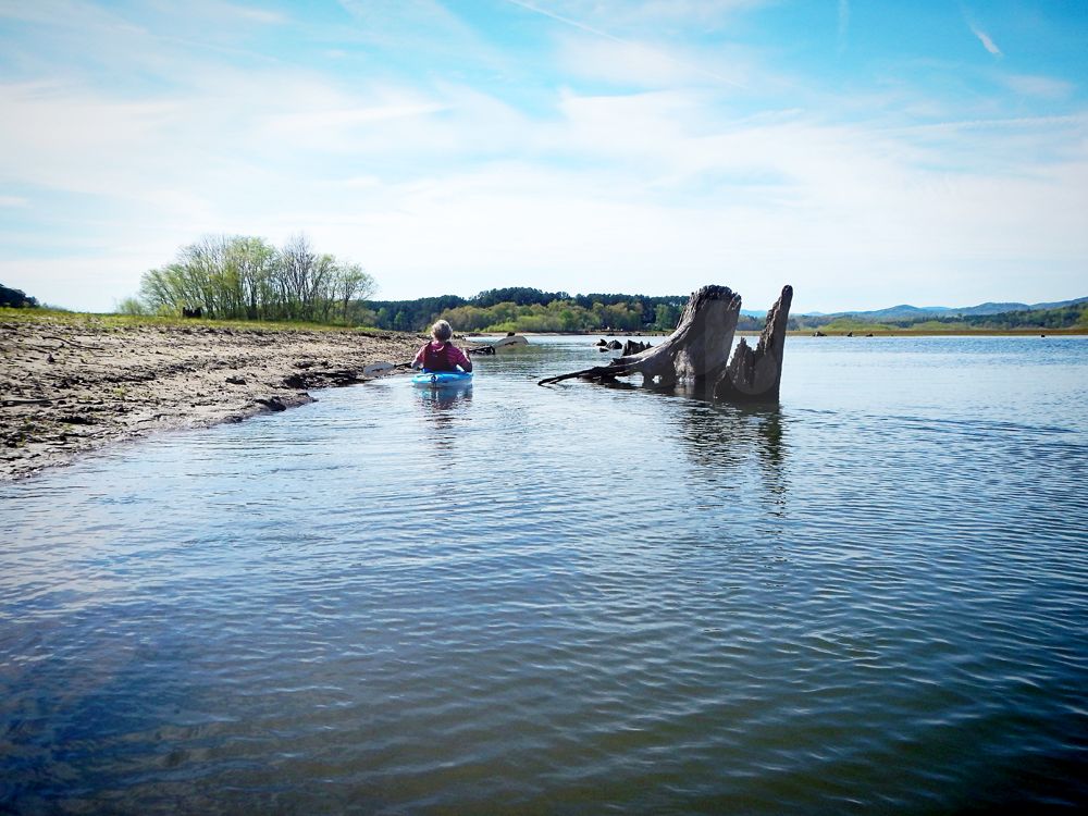
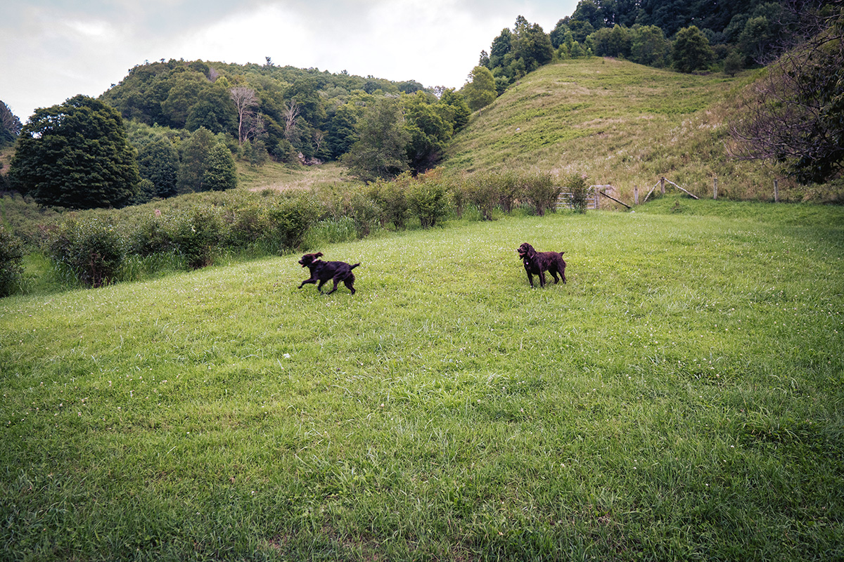
Paddling on, I took this cool photo of Anne as she arrives at the Indian Mound. The tree stumps would normally be under water and the land would not be visible. They really show the outline of the original river. When the lake level is like this, we can see how the Tugaloo River was before it was dammed up to form Lake Hartwell.

Leave A Comment