
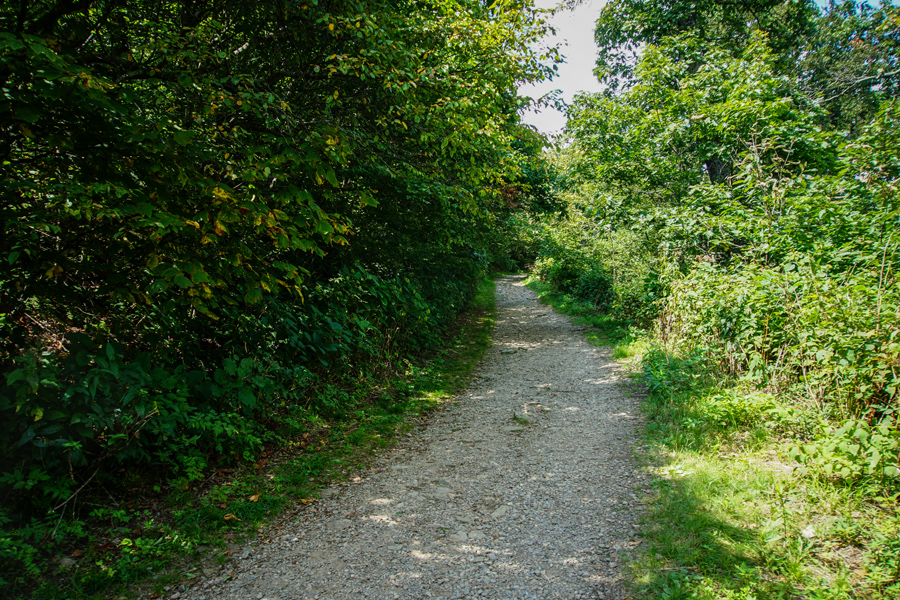
Here’s a look at the trail for Frying Pan Mountain. The week before Labor Day Weekend had been full to overflowing. We were tired after packing and leaving behind the Tugaloo River and Sunset Paddle. I asked myself, “How could one week contain so much?” Finally, obligations were behind us, and we headed north to Balsam, North Carolina, and the Blue Ridge Parkway.
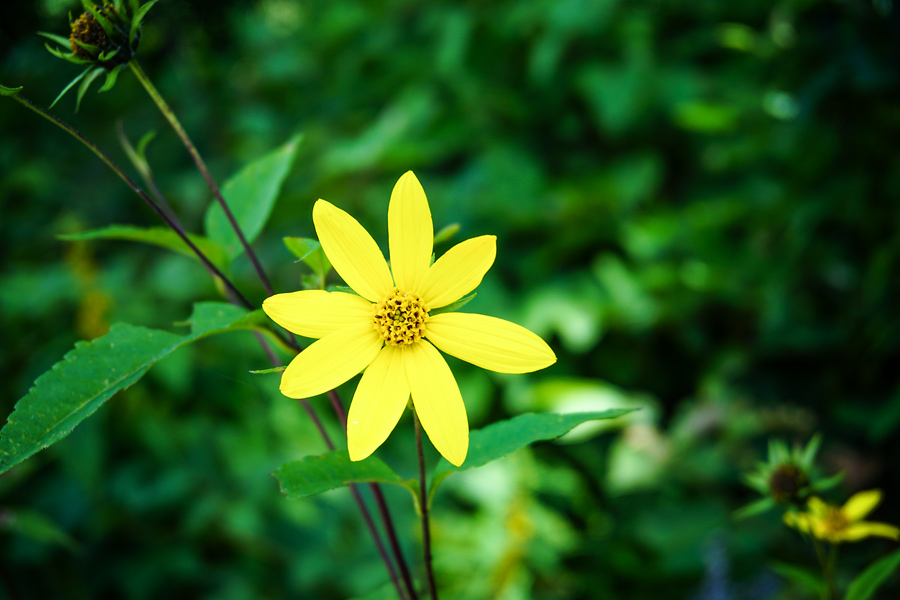
Though subtle, the colors of the mountains are changing. Fall is on its way. Still, plenty of end of summer flowers lined the trails.
While Frying Pan Mountain (sometimes written Fryingpan) is only a 1.5 mile hike, you have a quick altitude gain. The real treat of the climb is at the end where you can climb up an old abandoned fire tower. So how did this mountain get its name? One description simply says many years ago, a frying pan once hung from a tree on the mountain top. That makes sense to me, since we know early settlers were very roughed people, who probably lived in small hand hewed log cabins with no indoor facilities. You would simple hang your cooking pans in a tree up and away from the local bears!
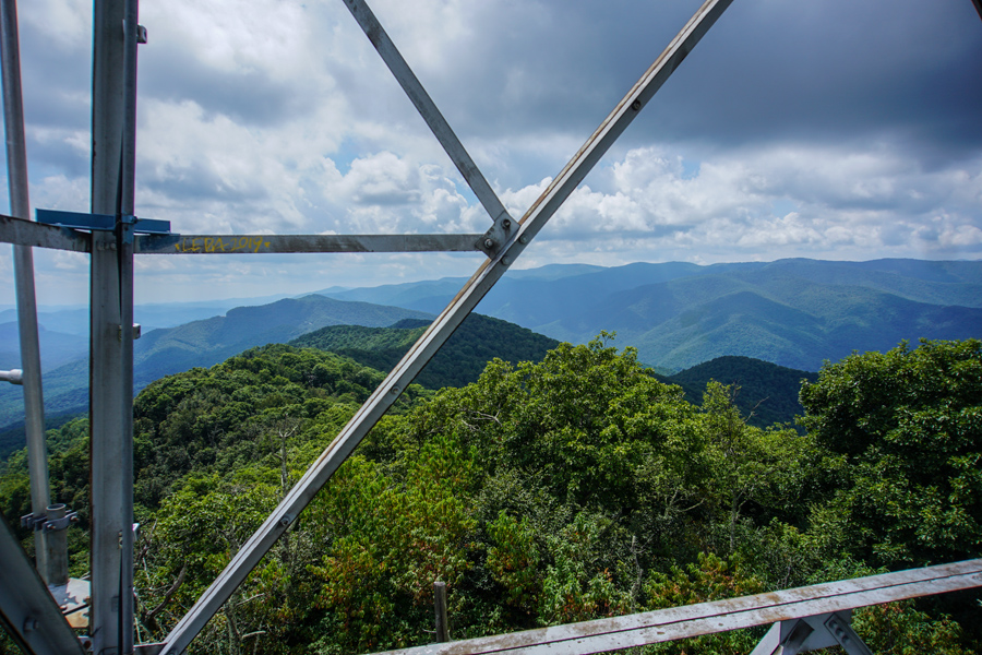
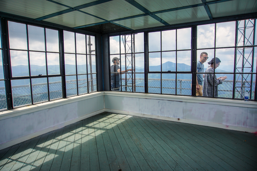
The trail to the top rises 350 feet from the trailhead to the tower and the views even from the first level of the old fire tower are sweeping and stunning. This historic, 70-foot-tall steel fire lookout tower at the mountain’s summit is open to the public and offers some pretty amazing 360 panoramic views of nearby mountain peaks that include Looking Glass Rock, Mt Pisgah and Cold Mountain.
The first time I climbed a fire tower I was in my early 20’s working for a newspaper south of Atlanta. I remember going into the office one day and my editor handing me a scrap of paper with directions to a tall tower in the middle of a very rural part of south Georgia. My immediate thought was: this is going to be fun.
A ranger waited for me at the top, and as she lifted the entry door to the tower’s observation room, she immediately realized I was shaking! I couldn’t stand up. The tower was swaying and fear washed over me. I asked her to “give me a moment.” (smile)
She casually walked back across the tiny room, climbed up into a tall chair, and turned to look back out one of the tower’s windows. Then she casually said, “I’ve made that climb every morning for over twenty years.” I felt ridiculous and probably looked the same as I clung to the tower’s floor!

So, I’ll say it again: “Go through cancer, and you will do just about anything within reason.” This time, I didn’t shake as I climbed to the top of the tower, though the first level of stairs swayed. I just kept climbing up to the heavy metal door that opened to the platform and amazing expansive views of the Blue Ridge Mountains. These are the Appalachian Mountains but only North Carolina calls them The Blue Ridge Mountains.
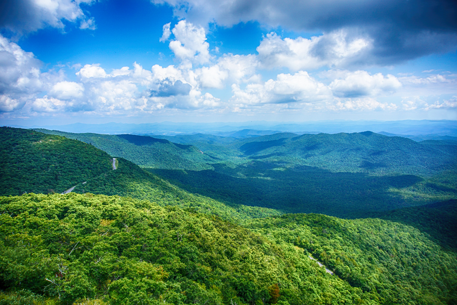
Quick explanation about the blue color: isoprene is emitted by trees as a way to protect themselves from the stress of excess heat, especially on summer days. After it’s released into the air, isoprene interacts with other molecules in the atmosphere, creating the distinctive haze that’s made the Blue Ridge Mountains famous.
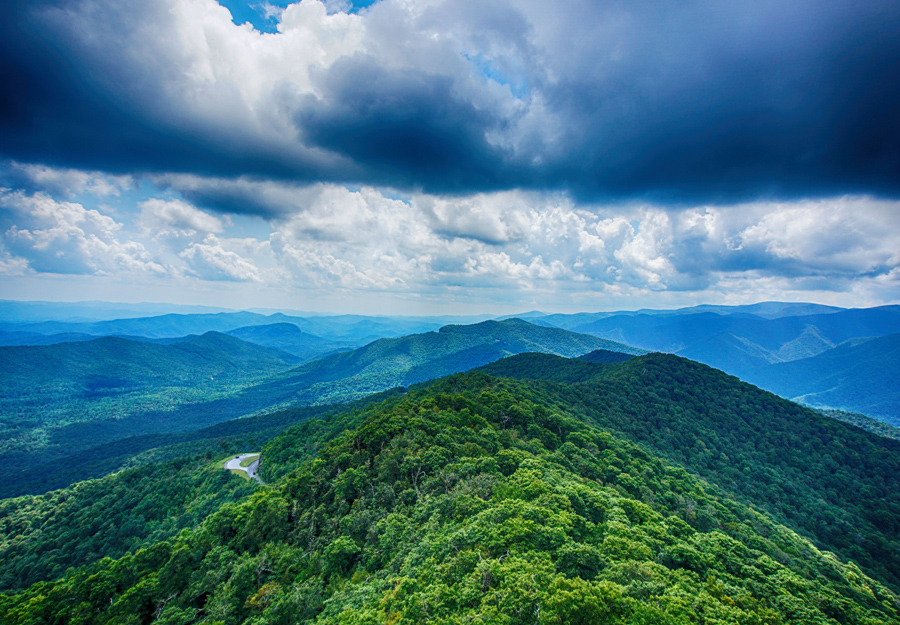
At the top of the tower, a young woman leaned over to her friend and said, “Look, they are still blue!” And they are!
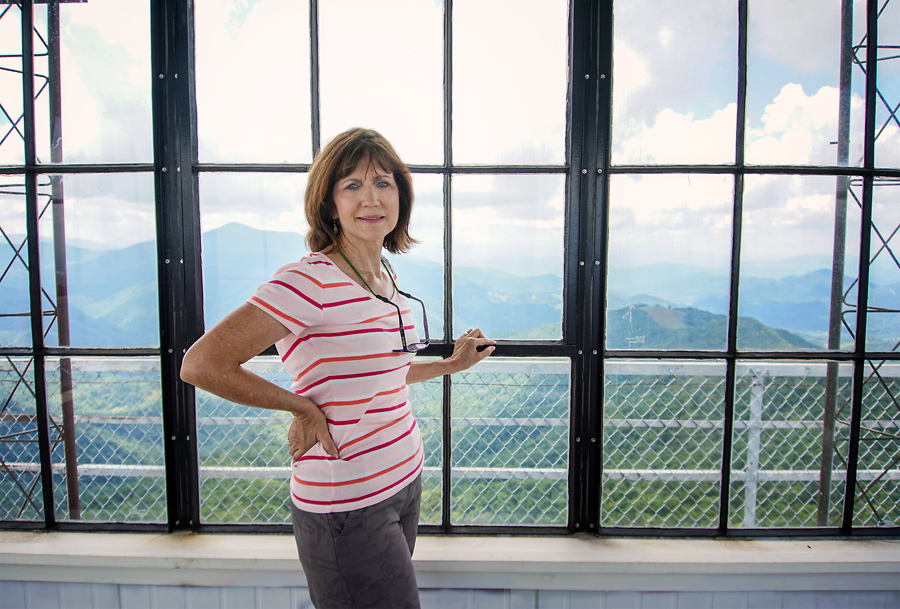
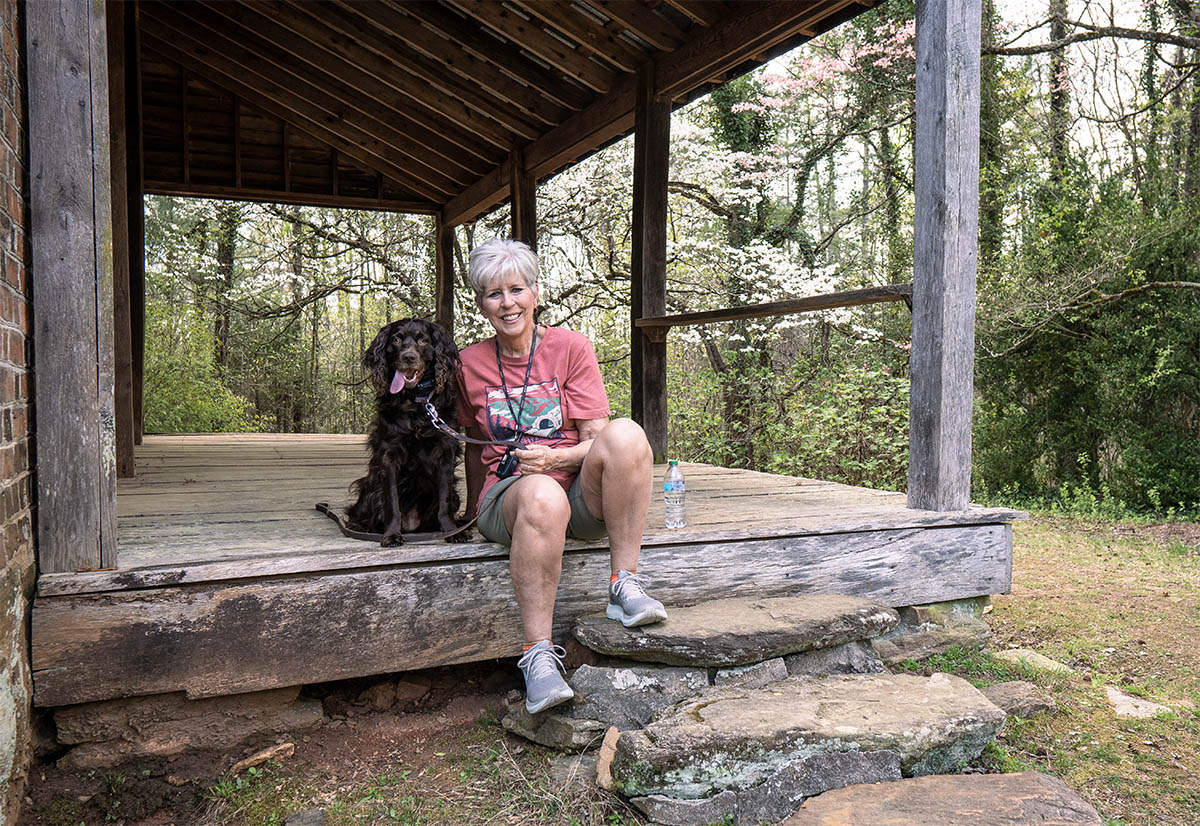
Pat made the climb with me while Anne stayed below and watched over the camera bags, walking sticks, and water bottles. She “stayed by the stuff.”
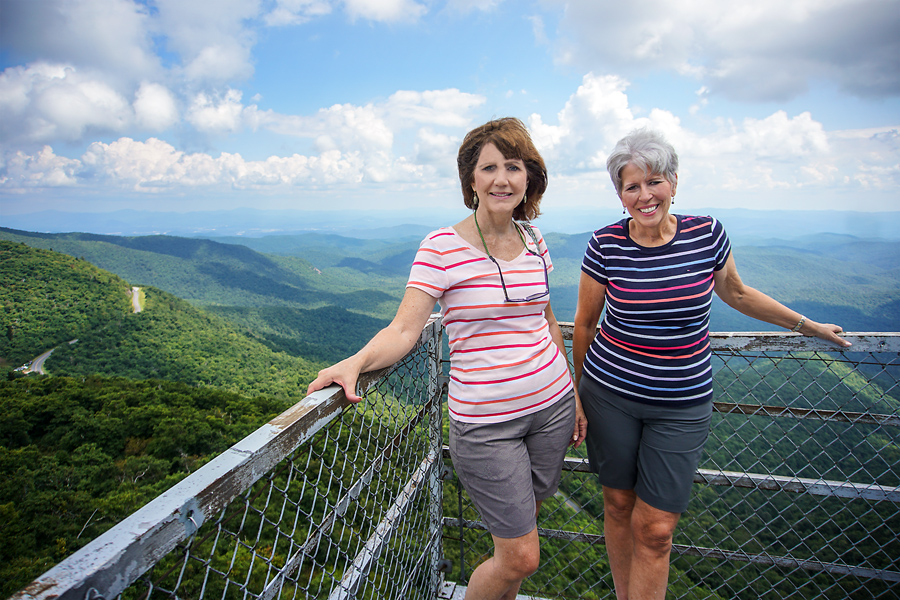
In this photo, you can see “serpentine roadway” that is so true of the Blue Ridge Parkway. And amazingly, we are beginning to learn where places are located along it, and we are also learning to talk in mile marker language. For example: Waterrock Knob is at mile marker 451.2 while Frying Pan Mountain trail is at 408.5.
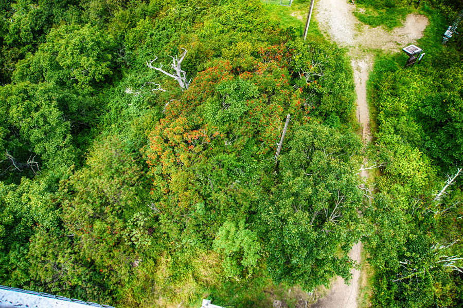
And for a parting shot: here’s the view looking straight down! I don’t see Anne, but I know she is there somewhere!

Leave A Comment