
I love hiking along the Chattooga River! The trails have a different sense of character, and it usually includes something pretty wild! This hike had one of the most “paddled” trails that I have hiked. It was thick with pine needles, lush with rhododendron, and super short and easy. There was some muddy up spots involved but in the summer things like that are lots of fun. (No ice!)
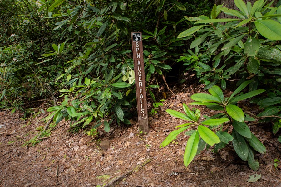
I also realize that I’m not good at taking photos of trailheads. The photo above is NOT the trailhead but does show the turn off for the last .1 mile of the trail. The trail is family friendly meaning people who rarely hike or who have children and dogs will have a great time. You may get muddy on this one but you will come away with a smile on your face from being here.

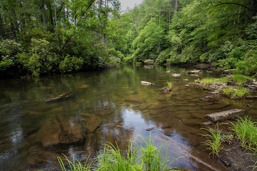
The Chattooga River looks like this in this area, but it’s totally different in another place with Class IV rapids. I would never paddle any section of the Chattooga alone or without an experienced guide. It is deep, it has a swift current, and there are lots of rocks. Plus, the river is just plain out and out remote! I respect its power.
It feeds directly into our Tugaloo River! So, while the Chattooga is called wild and scenic, we are calling the Tugaloo River “wild and beautiful.” See the Tugaloo River Water Trail page on Facebook for more information on how you can paddle it. It is a safe, flat water river.
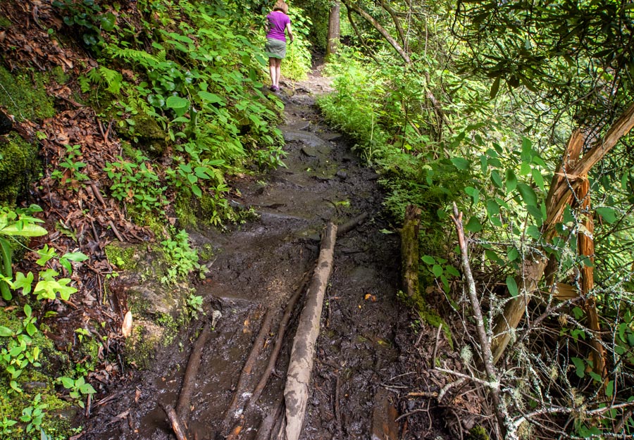
Here is one of the several muddy crossings that you will face. Hikers placed sticks along the trail so the next person coming behind them can keep moving easily.
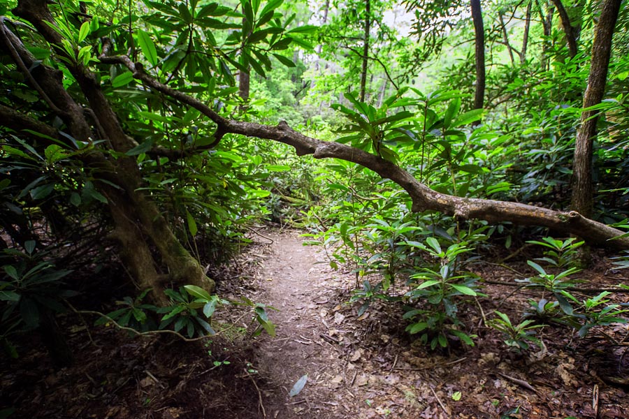
There was lots of this, too—trails that go through a rhododendron forest. The greens of summer in the mountains are spectacular!

Then here’s the payoff at the end! A beautiful waterfall! There are so many of these along the Chattooga River. You could hike for weeks and never see them all. Some are so hidden that you have to bushwhack your way to them, but that is not the case here.
These falls are easy to reach. I coupled this hike with another. So, it was an end-of-the-day hike and then it was time to head into Clayton, Georgia, for dinner!

Okay, so this is a little bit more of a challenging “stick” crossing. The crossover was steeper than it looks here.
I’m fascinated with this river! It is just untouched in this area. Nothing stops it and really nothing around here can equal its natural beauty. So, get out and hike along the Chattooga! If you are looking for social distancing places, some of these trails have all that you need. We may see one or two other people but that is it.
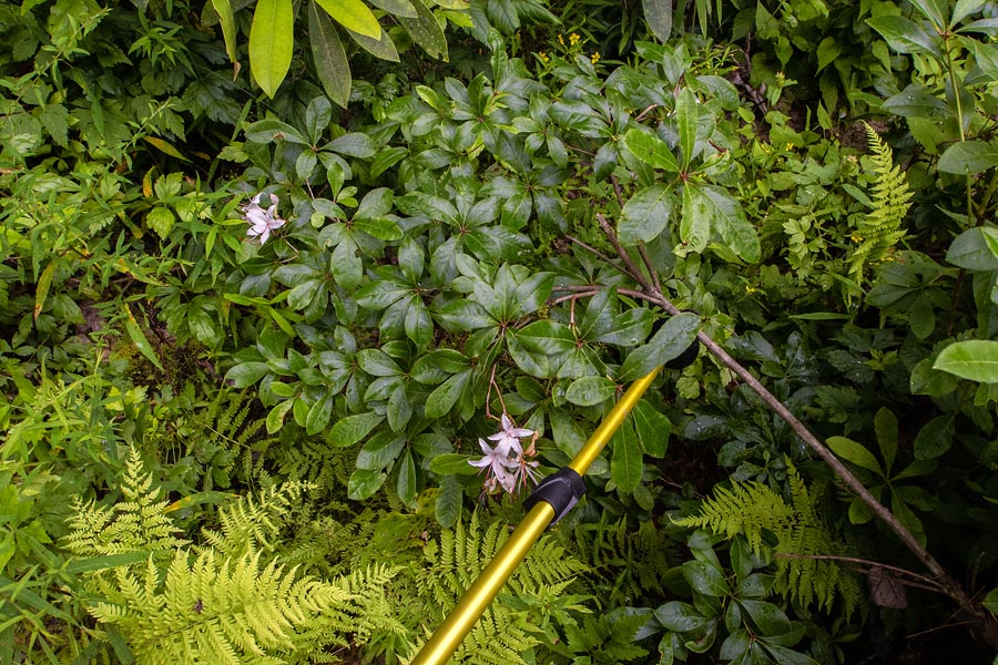
The plant life around the river is extreme. Here I found native azaleas embedded with native ferns.
What you need to know: Always take plenty of water, Kind bars or something like those, and hiking sticks or trekking poles. You can buy a good set at Walmart for less than $20 bucks. The trails near these falls are short and easy, but hiking or trekking sticks help when climbing up and down the steep trails or rocky areas. Plus, you can use them as weapons, if needed. LOL! Remember you are always in bear country in these areas. After finding myself in the middle of a thunder and hail storm a couple of weeks ago, I now carry light rain gear with me and have a medical kit in the car.
Spoonauger Falls is back into a hillside and surrounded by an explosion of native shrubbery. This 50-foot falls runs down a stepped rock face in a broad sheet and is among the more popular in this area of the Chattooga River watershed. It is an easy, 20-minute hike; and like its cousin, King Creek Falls, this waterfall is camera-friendly, especially in the summer when plants snake all about and afternoon light highlights the innumerable horizontal slashes of the rock. I use a light weight tripod or mono-pod that’s built into my Leki hiking stick. Dogs are welcome.

Leave A Comment