With great care, we headed back out to hike Rabun Bald recently. Remember, these hikes are mental health breaks right now during this time of isolation. If there are more than two cars at a location, we go on to another place. Staying safe is first but also seeking ways to retain the physical ground I have gained over the last year and a half since going through Chemo.
I had hiked up to the summit in February when it was cold on the top! There is evidence that spring is coming to the mountains. On this day, it was warmer — mid 80’s. Gratefully, the hike up got our minds off the coronavirus for a few hours. I don’t have a problem with taking a break from thinking about all that is going on around us. We practiced social distancing, and we talked about a lot of other things than this time in our world. It was refreshing.
The good news is that the woods and the trails are still with us! Rabun Bald (4,696) is just a moderate—nothing too hard or difficult—hike. It’s the second-highest peak in Georgia. Only Brasstown Bald (4,784 feet) is higher. So, you know when you get to the top, you will have some views and we did.
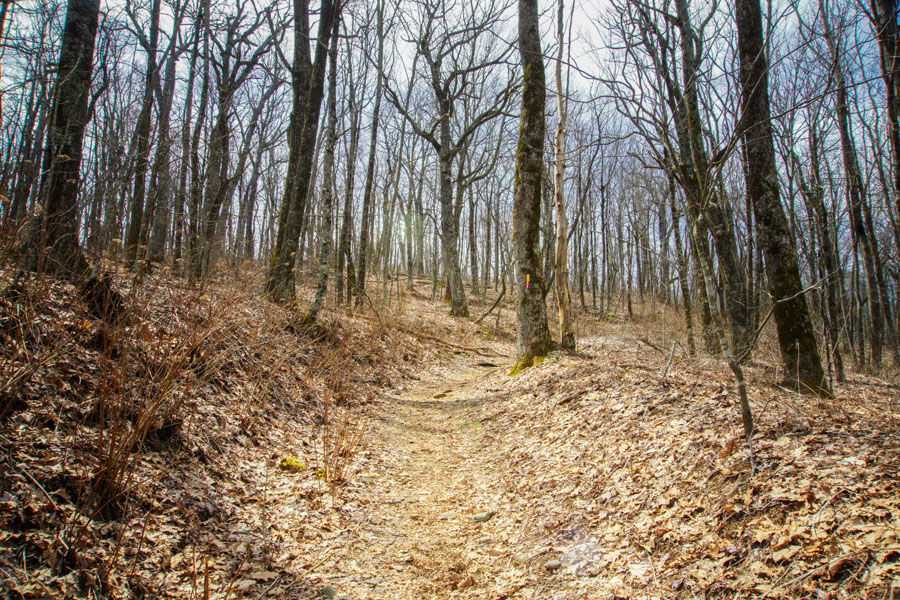
You can find the trail head at the end of a deadend road in a Sky Valley neighborhood. Just Google the location. The trail immediately gains elevation, ascending Rabun Bald’s lower elevations through a forest dense with rhododendron and mountain laurel.
This time we had Sailor with us because Lindy Harrell was here, too. He’s pretty cute and was a great hiking companion.
I love this trail. It has character! And I love the fact that it definitely goes up. Up is good but you get breaks along the way.
This is the intersection of the Bartram Trail. I think it’s where the 12 mile trail joins in with this one. The one we hiked was just over 3 miles. From this point, the hike continues up. We followed the yellow-blazed Bartram Trail toward the summit. Some bloggers have written that the trail gains elevation unrelentingly. However, the difficulty is moderate, thanks to a series of sharp trail switchbacks that conquer the height slowly.
I photograph this sign every time I hike this path and every time there is something new on top of the marker. Notice that someone has removed the actual distance from here to the top. This could keep you guessing, but I think it’s a little over 1 mile from here to the summit.
On the way there, you travel through at least three rhododendron tunnels.
Sailor is still cranking out the mileage! He was the best hiking companion. I have never walked or hiked with a herding dog before and have to say that he makes you feel pretty safe!
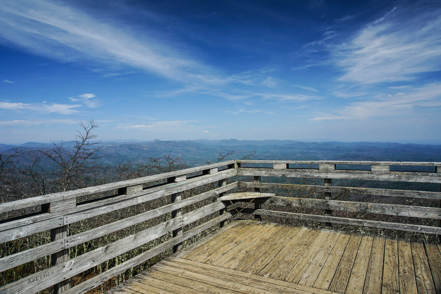
The Bartram Trail summits Rabun Bald at 1.5 miles, passing a small campsite. An observation platform caps this mountain’s rocky, bald summit. The platform is accessible by steep-pitched wooden stairs but they are not difficult to climb. The tower’s foundation is historic: it was the first fire tower in the area, and was more recently converted to a wood viewing platform above the original tower’s stone base. Many of these older fire towers are being restored and maintained for hikers. Wayah Bald is another one of these. It sits directly on the Appalachian Trail, which is pretty much closed this year due to Covid-19. It is not much of a hiking challenge because you can drive up to it, but it is a beautiful place to visit. (Just stay safe!)
This time I didn’t photograph the surrounding mountains, but I will say that you have some pretty amazing views surrounding the Rabun Bald summit. In fact you have a 360-degree panoramic view! Rabun Bald’s peak sits on the Eastern Continental Divide, offering sweeping, long-range views of the surrounding North Carolina and Georgia mountains and wilderness.
So, if you are wondering, you will see Georgia’s Black Rock Mountain is to the southwest. To the northwest, the North Carolina summits of Standing Indian Mountain, Pickens Nose, and the firetower-capped Albert Mountain rise from the horizon. And the enormous, sheer-sided slopes of Whiteside Mountain are visible to the northeast.
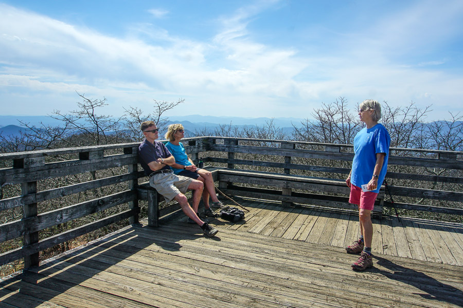
It’s always pretty much breezy on top of Rabun Bald—something we were grateful for on this day. And there always seems to be a surprise on this deck. I can’t explain it, but each time I have hiked to the top, the friend with me runs into someone he or she knows! There were only two other people on the platform at the top, and Lindy knew the guy! Last time I was here, Anne knew the people who were there. So, I’m officially naming this tower: The Friendship Tower!
Now, I can’t wait to return and see who I meet next! LOL!
Lindy talks with a friend she has known for years! They are like family. So, here we are in the middle of an isolated area and these two people know one another! What are the chances?!
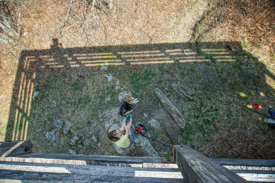
Pat was hanging out below with Sailor, who is tremendously faithful. Notice that his little body is placed on Pat’s foot! On this day, he’s protecting his herd!
Then Lindy gets him to sing for everyone!
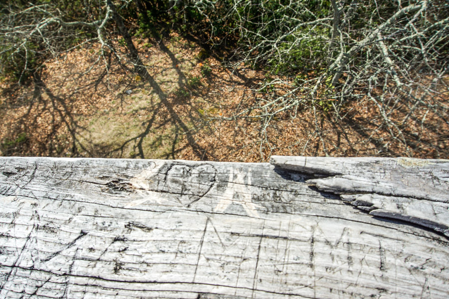
It’s fun to read all the cravings that people leave behind in the wood. I found a heart and thought that was pretty safe to post!
And of course, you have to take a photograph of the summit marker before hiking back down to the cars! This is one of my favorite Georgia trails, which is all that I’m hiking right now. It can be muddy following a hard rain but you can easily hike around these places. Or if you are like Sailor, maybe just just go through the middle and thinking about how good the “wet” feels on a hot day!







Leave A Comment