A few weeks ago, I got us caught in a horrendous thunderstorm complete with thunder, lightening, and hail. I had never been as wet as I was that day! And the hail hurt!! We were out in the middle of a forest with no place to shelter. My new Merrells that were supposed to be waterproof lost their battle to the elements.
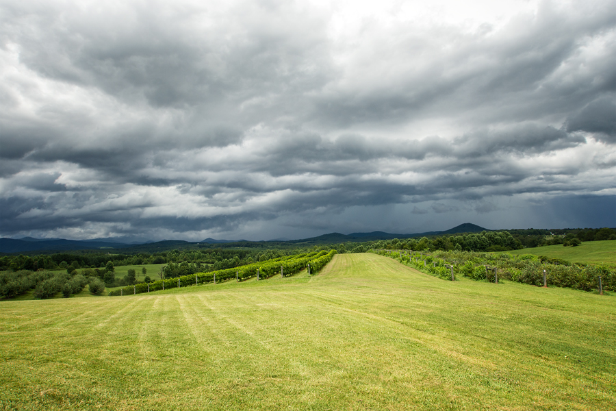
So, I made a promise on that day not to (knowingly) hike us into the path of a storm. Since then, we have hiked in rain two more times! What’s with this weather?! But yesterday, “My little eyes spied” a storm brewing. As I stood at Chattooga Belle Farms looking out toward Rabun County, I thought: “This could be problematic.” So, I made the wise decision to keep a promise and enjoy the wind, the view, and the fresh air that was blowing through before the actual storm “hit.”
I also managed to wander out to the grape vines and taste some of the “spoils” that were perfect for picking.
Then we jumped into the car, checked out the South Carolina waterfall guide book and picked out beautiful Reedy Falls to visit before heading to Brasstown BBQ. (My opinion only: This is the best BBQ around. Period. And I’m crazy about the woman who owns this place.)
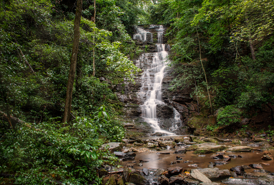
Reedy is only a 30-foot cascade (also known as Burson’s Falls) but it is very sweet and a perfect destination for a rainy afternoon. It’s located in a secluded cove near the Chattooga River, so you know the area is wild and wonderful. In fact, Bull Sluice is a stone’s throw away. It is super easy to reach and only requires a short 300 yard walk down a gravel road.
The guide books says the falls flow over part of a 100-foot wide rock ledge before emptying into the Chattooga. An open area at the base of the falls is really nice. Clear water from the falls flows over pebbles and there’s also enough space along the water’s edge for a picnic. This area looks like a gorge and was an old rock quarry.
The trailhead is marked by stone columns and a iron gate, which makes you think its private property. It’s not. The land was in the process of being developed for home sites when the Forest Service acquired it. It’s public land.
Directions: From Westminster take US 76 WEST for 16 miles to Chattooga Ridge Road on your right. Pass Chattooga Ridge Road and go another 0.2 miles and turn LEFT into a parking area beside a stone wall and gate of stone pillars. The trail head is at the stone pillars. Hike 600 feet down the old roadbed—easy!
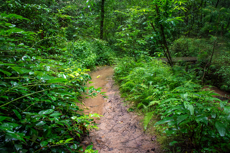
Finally, the heavily traveled path is rutted, so guess what happens when it rains! I managed to get a little wet, the camera stayed dry, and there was peace in my heart!



Leave A Comment