

Funny thing about Mt. Collins (in the Smoky Mountains): it seems to move around or at least it was very illusive to us. We tried in vain to find its summit last fall before the roads were closed to the area around it. But we took the wrong trail. Or I should say that we took a right trail–it was just miles longer than what we needed or wanted to hike. This is almost what happened again on this trip!
So, for all, who happen upon my website: Mt. Collins (near Clingmans Dome) is accessible via a small pull off to the left on Clingsmans Dome Road. Do not take the pathway for the Fork Ridge Trail that goes down on the side of the pull off. Instead, cross the road to where a sign is posted for the Appalachian Trail.
Enter the woods and hike about .5 miles to a huge trail intersection where you will see a listing for Clingmans Dome. Follow that trail. There’s no listing for Mt. Collins even though it is 6,188 feet high. There is a listing for the Mt. Collins Shelter on the AT but this is in the opposite direction of the mountain’s summit!
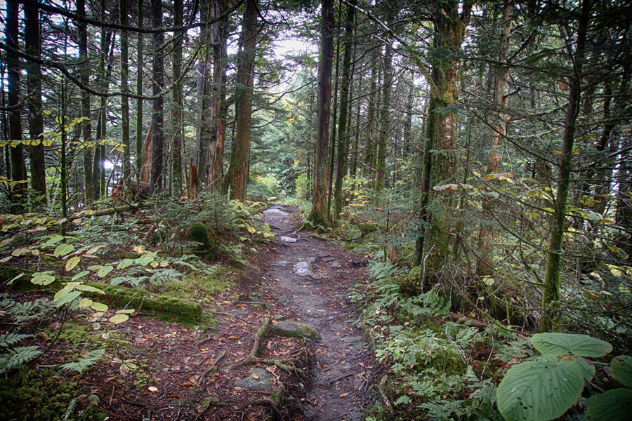
Even though there was plenty of blue sky along the Blue Ridge Parkway, the trail to Mt. Collins was damp, cool, and misty or foggy. There were some ups but nothing too hard. Mostly you are hiking along a ridge line that goes to Clingmans Dome.
We hiked under a balsam canopy with splashes of sunlight filtering through the dense forest.
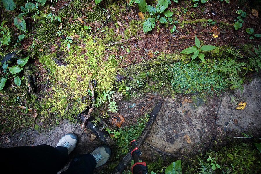
I have no idea why I took this shot other than I was fascinated with the different colors of green. Everything in the mountains of North Carolina are still moist and fresh—so unlike what we are experiencing in Northeast Georgia with tempts in the 90’s still.

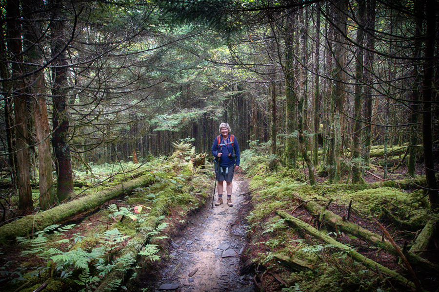
Here’s a sample of the “ups.” The trail, because it is a part of the AT and because it is so close to Clingmans Dome, is very well maintained.
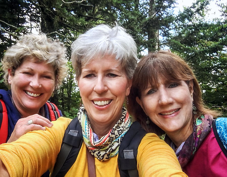
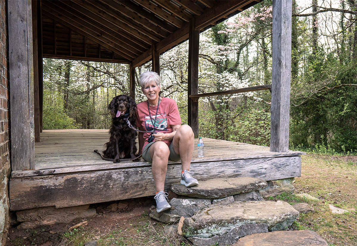
Here’s the only one we took at the top of Mt. Collins. We had to celebrate and archive the moment since we had been trying to “find” this summit for almost a year! The surrounding mountain range is not visible. This is probably because the vista and the view that was once available is now overgrown.
There is not a marker at the top of the mountain and we had to use our GPS to find the exact summit. We did notice that plenty of people had stopped at this point. It is an open area with a small place to have a trail snack. Then it was back to hiking in the beautiful dark woods of the Smoky Mountains.

It was just beautiful. We call walks like this one traveling through an enchanted forest!

Here’s the Sugarland Trail intersection. Notice that Clingmans Dome is 3.4 miles away. Mt. Collins is before that.
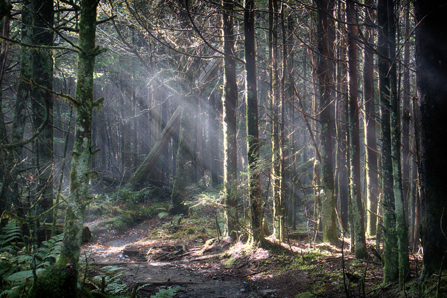
I think this is the first time that I actually captured shafts of light coming down through the trees. This was a very happy hike filled with lots of rich greens clinging to the last of summer’s days.

Leave A Comment