I have wanted to hike to the top of Siler Bald for a while. This trail is about 4.6 miles in and out, but we felt that it was a little longer. We left from Wayah Gap. You will want to take Wayah Road to Wayah Gap. We missed the road and trail the week before because the Forestry sign marking the road was gone! People love to steal these things!
At Wayah Gap there’s a dirt road on your right and another almost immediately on your left. The one on the right is Forestry Road 69—the sign is missing. This road takes you up to the Wayah Bald and the stone fire tower located there. You want to take the short dirt road on the left, which leads to a small gravel parking lot. Park in this lot and look for the above trailhead sign.
The trail to the top of Siler Bald is fun and exceptional. It’s truly a gorgeous, view-packed, moderate hike through a hardwood forest that opens up to the sky. It has all that you want in a hike, and only the last section is difficult.
Without a doubt North Carolina’s mountains and balds are my favorites in any season. Most of the time, they are sun-drenched with open summits that are topped with golden grasses, rocky outcrops, and wildflowers by the millions in spring and summer. Siler Bald is no exception.
The trail to the top of Siler Bald is exceptional. The AT Conservency maintains it. That’s all that needs to be said. It has all that you want in a hike—some challenges, plenty of views, and hardwoods. It does immediately begin to go up from the parking area and doesn’t stop until you are at the top!
On the way to the summit, you pass plenty of downed trees that appear almost like works of art than nature’s damage.
Once you are on the ridge, the trail does become a little more rolling as you continue to trek through some amazing hardwoods. This part of the AT reminds me of being on the trail in Georgia. It’s pretty much a family friendly hike. It is not particularly difficult and almost any skill level can make the climb. There are no rock scrambles but there are a very few steep step ups but that’s all.
Snowbird Gap is 1.6 miles into the hike. A small open field lies just beyond the treeline and immediately you see the approach trail up Siler Bald on your right. The AT continues on straight and another short trail goes to the left. It leads to a shelter and also a water source.
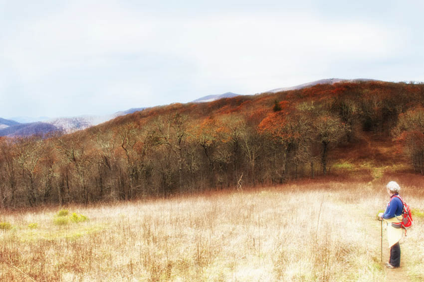
Anne turns and looks back at the mountains that surround this bald. From the moment you start to hike to the summit, I was amazed at the views.
Halfway up, be sure to stop and turn and look around you. The climb is not steep, but you do have an elevation gain of around 1,000 feet. In the summer, the trail is surrounded by lush, green ferns and mosses. In winter, the trees thin out, so be sure to look out to the right to catch glimpses of the surrounding mountains.
The higher we climbed the more beautiful the views became. It is almost as if they emerged before my camera’s lens.
We passed at least one campsite (in this photo to the right) on the way to the top. It was empty but on our way back down two serious weekend hikers had set up their tents. They had hiked from Winding Stair Gap and would going further on the AT the following day. I later discovered that Siler Bald was a typical stop over for weekend AT hikers.
We started off with plenty of sunshine but as it happens sometimes in these mountains, clouds roll in making for some interesting views. The light spot in this photo is actually sunlight shining down through the clouds.
At the top and to the south, you can see Brasstown Bald, Standing Indian and Tray Mountain. To the north, you’ll see Wayah Bald and the fire tower located there. You have to look hard for the tower—it’s very tiny on the top of Wayah Bald.
We removed our day packs and sat down to enjoy the views. Siler Bald is located just off the Appalachian Trail and has nearly 360-degree views.
The very top of the bald is not large. It’s far from what it is like being on the top of Black Balsam, Tennent Mountain, or other areas in the Shining Rock Wilderness in the Pisgah National Forest. Siler Bald is located in the Nantahala National Forest. But it is well worth the climb and the adventure!
We had the perfect photo op for our Keens and Merrills and tagging the top. Why not, right?!
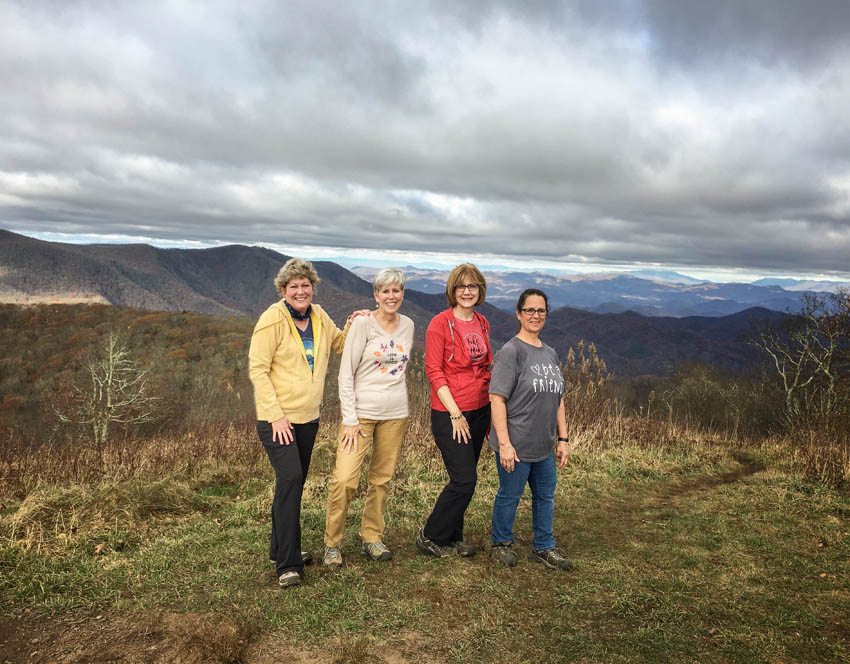
Looking good and feeling great at the top. Lenea joined us for this hike and promised to do so again for others in the future.
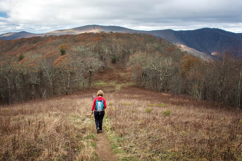
Pat begins the downhill trek that continues for the entirety of the hike back.
Here are the directions: The hike leaves a picnic area at Wayah Gap, located just off NC SR1310, Wayah Road. Your GPS will get you there.
The trail goes east through the picnic area. You quickly see the white-blazes marking the Appalachian Trail. Follow those southbound to Siler Bald. Remember it is nearly a continuous climb to the mountain’s summit. You do go through a couple tunnels of rhododendron before crossing a rustic wood bridge at .2 mile.
The AT continues on and meanders through the hardwood forest, climbing elevation. There are a couple of broad switchbacks before you cross a small, trickling spring at .5 mile. Between-the-trees views of nearby mountains are on your right as the AT continues westbound. I found this trail to be particularly beautiful, especially in late-afternoon autumn light, as the hardwoods display their colorful fall hues. Enjoy!






Leave A Comment