

We have tried to find Tray Mountain for about a year, but we kept turning back due primarily to the Forestry Road up. It’s terribly rutted from ATV traffic. But on this day, my Subaru made it fairly easily. This is NOT a photo of the difficult part. This is, in fact, a wonderful section compared to the part that I had to pass over. Off to the left, is a pathway to a water source for those who are on the Appalachian Trail.
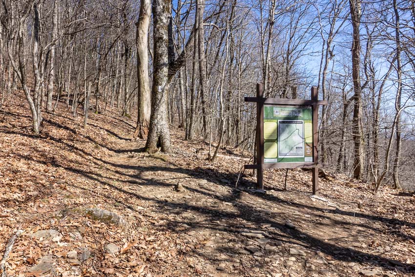
Tray Mountain is a fun little hike—about 5 miles up and back. When we arrived at the trailhead, we quickly asked someone if there was another way back down! I didn’t want to take the “rutted” road back. One day hiker assured us that we could get back via another road! With that good news, we gathered our gear and began to hike.
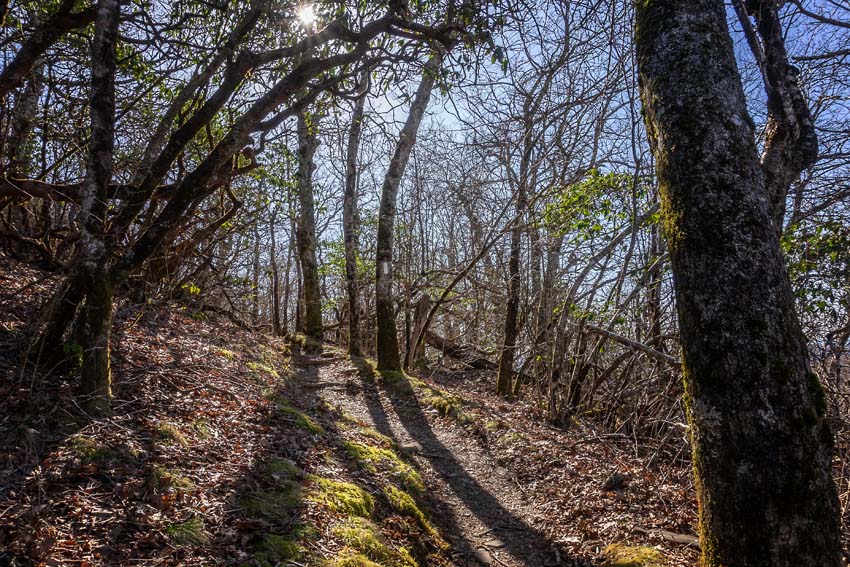
I’m glad we chose this hike on this day. Tray Mountain Wilderness is beautiful and noted as one of the prettiest sections of the AT in Georgia. When we started, the sun was high in the sky, so my photos have lots of sharp contrast. This was the first official day of spring and while there were no flowers out yet, the weather was warm . . . and the wind steady.

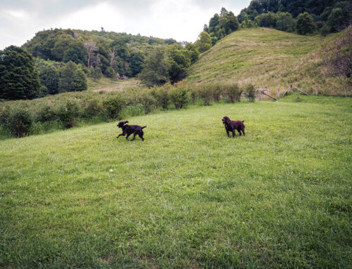
In this photo, Anne is climbing, while my dog Wessy is rushing me up the mountain—nothing new with that. The white blazes are well placed. You won’t get lost but you may want to stop and take in some of the views along the way. Three thru hikers (on their way to Maine) passed us quickly asking our forgiveness for being so fast. They had “a pace” going. We gladly yielded to them! If you want to meet some nice people, get out on the Appalachian Trail, especially this time of the year. The world looks different on the AT!

This trail reminded me of the one up to the top of Rabun Bald or even Wildcat Mountain. It dodges in and out of Rhododendron forest. I did notice that the spring and summer greens are returning to the trail.
The elevation gain from the trailhead is just over 600 feet, and we had a steady climb all the way to the summit. Still, it’s not a difficult hike. In fact, the hike is listed as moderate and just rolls along.
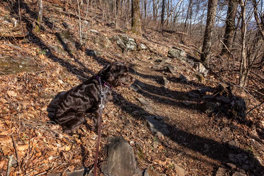
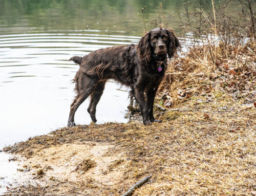
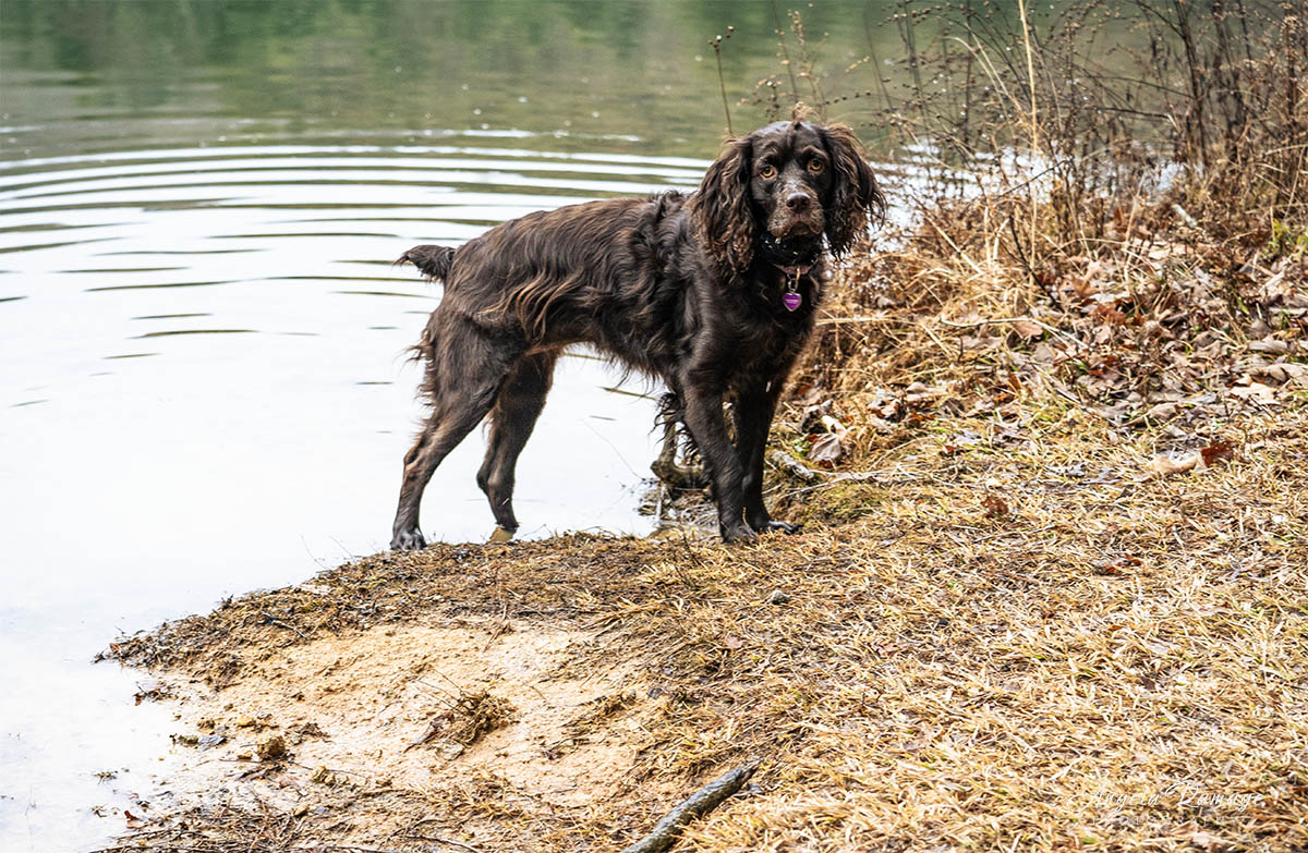
Wessy walks beside me now on the trails but loves to take breaks on a hillside and looks out at the woods around her! She’s becoming an excellent trail dog!
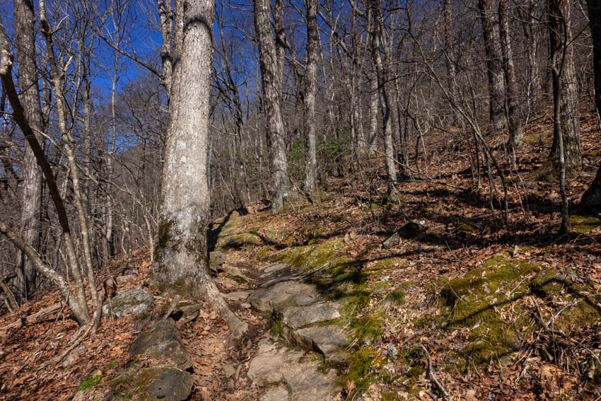
More up and gentle walking and more rocks along the way. Always roots and rocks in Georgia! This section was a little more “up.”
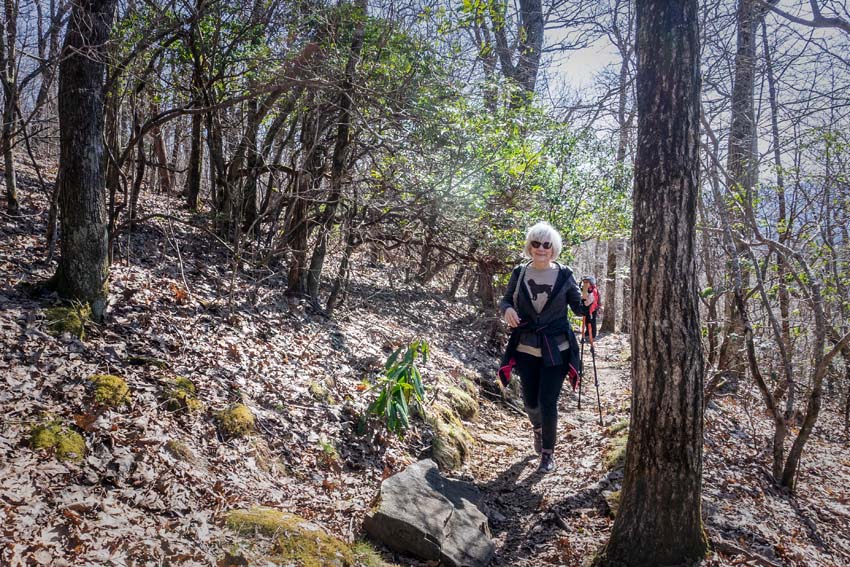
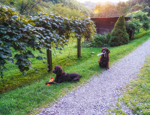
Pat continues to look better after her hip surgery. She’s not as tentative now and climbs easily.
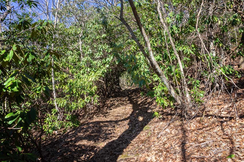
We came up on another rhododendron tunnel. In the winter, you can see through ones like this, but in the summer with dense foliage it’s harder. This one had a soft pathway through it.
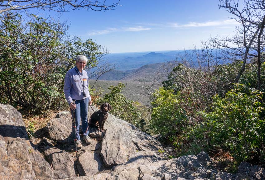
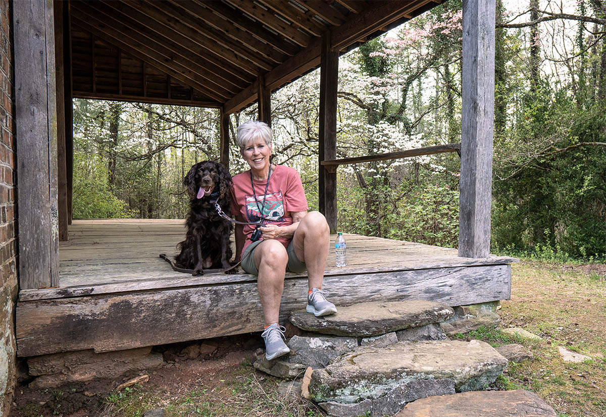
Wessy and I posed for a photo at the top while birds played in the wooded area near us. I could hear them and she could see them! I had to keep a close eye on her because she really wanted to “fetch” the poor little Dark Eyed Junco!

Here’s the view from the top as the sun was beginning to set. We’ll go back soon because we did not go around the corner to see the shelter! I’m sorry that I missed seeing it probably because I’m wanting to hike to and photograph some of the AT shelters—just to do something different!

When we go back, we’ll take this road up and also back down and forget the Jeep Road that was so rough! This road ended up near Hiawassee, Georgia, and was great—just long. Tray Mountain is the most remote sections of the AT in Georgia. So, you will travel about 8 miles on the dirt roads up to the trailhead but it is worth the ride!
If you want to hike Tray Mountain, I would leave from Hiawassee and not the Forestry Road that is suggested outside of Helen, Georgia. That particular Forestry Road is totally rutted by ATV traffic. I have a small SUV and while I made it (slowly), I would not want to put my car through that again! Happy Hiking!
 Climbed Tray Mountain)
Leave A Comment