If you live in Georgia, more than likely you have heard of Blood Mountain. I remember years ago a friend, who was a youth director at her church talking about it and how she took a group of teens to the top. She was young herself, but it almost “got the best of her.”
The Blood Mountain trail did not “almost get the best of me,” but it was tough. I’m not going to mess around with telling you that it’s just easy because it’s not. When an experienced AT thru hiker says it’s tough, then it is. When AllTrails rates is as difficult, be aware, BUT it’s doable. All mountains can be climbed—on the ground, in life, and in your head.
One guy wrote saying, “Don’t let this mountain intimidate you,” and I agree.
Blood Mountain via Byron Reece Trail is a 4.3 mile heavily trafficked out and back trail located near Blairsville, Georgia. To get there, just put it in your GPS. The trail is used for hiking and trail running year-round. Dogs are also able to use this trail. The elevation gain is 1,400 feet from the trailhead.
It takes roughly three hours to hike to the top and back down, but it took us longer—about four hours mainly because of Covid. We stopped and let people coming down around tight turns or go around us. It seems that most people try to be sensitive to the continuing situation but everyone is super friendly. That is what America does best! So, get out and hike.
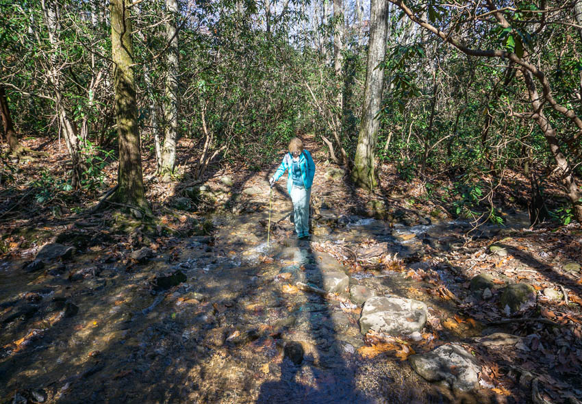
Here’s Pat crossing a small stream on the Byron Reese Trail, which is one of the several approach trails you can take to connect with the Appalachian Trail. This one connects with the AT at Flat Rock Gap (pictured below) and from that point, it is the only way to get to the top of Blood Mountain.
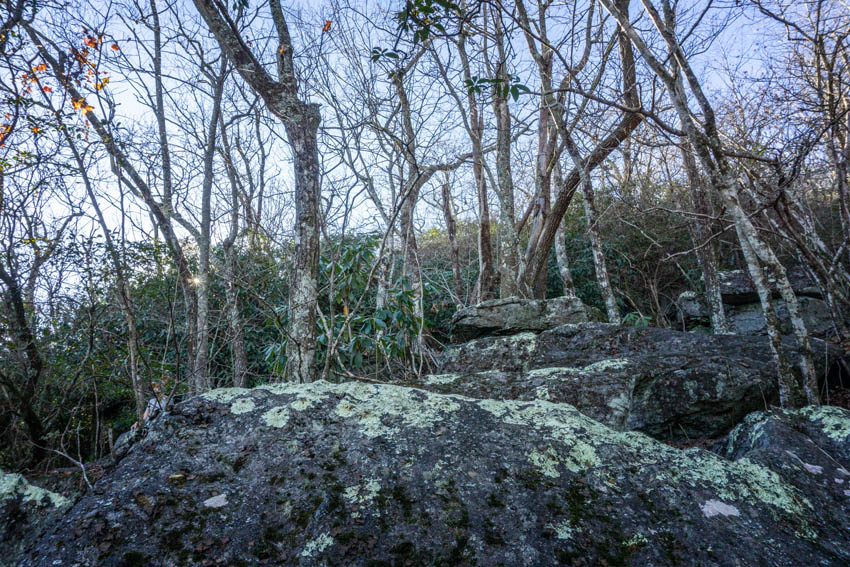
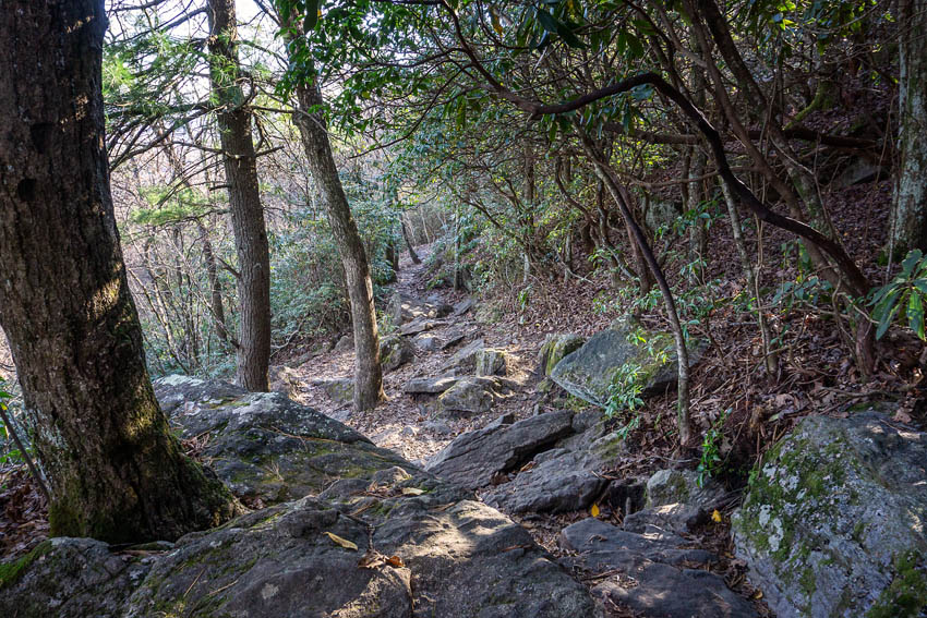
There are plenty of level places like this one where the trail just runs along as friendly as it can be, and then there are the rocky areas like the photo below. There’s lots of these.
What looks simple, after a couple of hours feels difficult, especially to me—who’s three years out from extreme Chemo treatments! I say that a lot, but it’s true. I’m always amazed that I keep pushing to get to the top of these places and then hiked on more. . . .
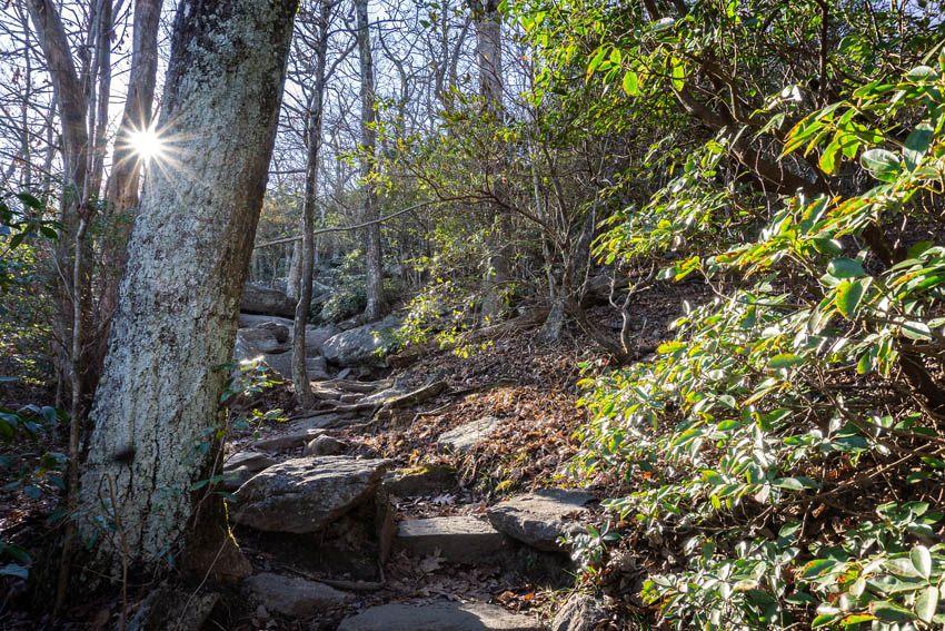
I asked Pat to let me take her photo beside these steps because this is typical of what is relentlessly etched into the mountain. Climb after climb and switchback after switchback. The Georgia AT Club maintains the trail. Volunteers work to keep it open and free of things like downed trees. Right now, after three major storms, this trail is crying out for attention. It’s washed out in several places.
Still, I had no problem following the white blazes, which famously mark the AT. But some of the people coming down from the summit told me they got lost! One couple said they bushwacked their way through Mountain Laurel to get to the top! I think they took the Freeman Trail where the AT meets the Bryon Reece Trail instead of going right and following the blazes. Make sure you stay on the AT and only follow the white blazes and you’ll be fine.
Evidently, being lost in this area is something that happens because in at least one spot someone craved an arrow into a tree pointing out the pathway to take. Maybe I have read enough AT journals by thru hikers to know that the white blazes can be painted on rocks as well as trees. You just have to pay attention and follow the blazes!
Yes, Pat is in the photo above, and she is on the trail. I had to climb these boulders to get up to the point where she is standing.
There are various theories on how the mountain got its name. Some believe that the name comes from a bloody battle between the Cherokee and Creek Indians. Others believe it was named Blood Mountain due to the reddish color of lichen and Catawba that grows near the summit. I saw lots of lichen but not any that was red.
I confess that I love a late day hike because the sunlight turns golden and bleeds through the trees. But on this occasion, when I saw the sun in this position, I knew there would be trouble. I would lose daylight fast, which meant darkness on the way back down the trail. But I kept hiking! You don’t turn around at this point!!
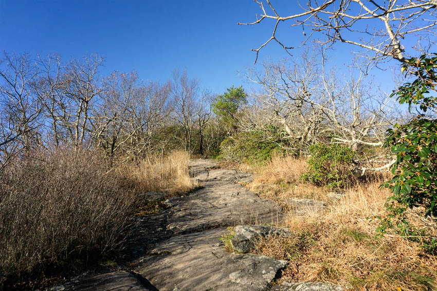
Nearer the top the rocky trail gives way to a more normal pathway but then it really begins to go up.
This part reminds me a little of Yonah Mountain—where you break free from the treeline and out to a false summit. Keep hiking! You are not at the top yet.
I say false because you suddenly find yourself right back in the forest again looking for white blazes!
Finally, you come to the first of three overlooks but you are not at the summit. Hike on . . . and follow the white blazes!
We hit the actual summit around 4 pm and knew that we would need to move quickly to see the AT Shelter that is officially at the top of Blood Mountain. The shelter photos are in another post because that was a very special moment for me. Therefore, it needed its own post.
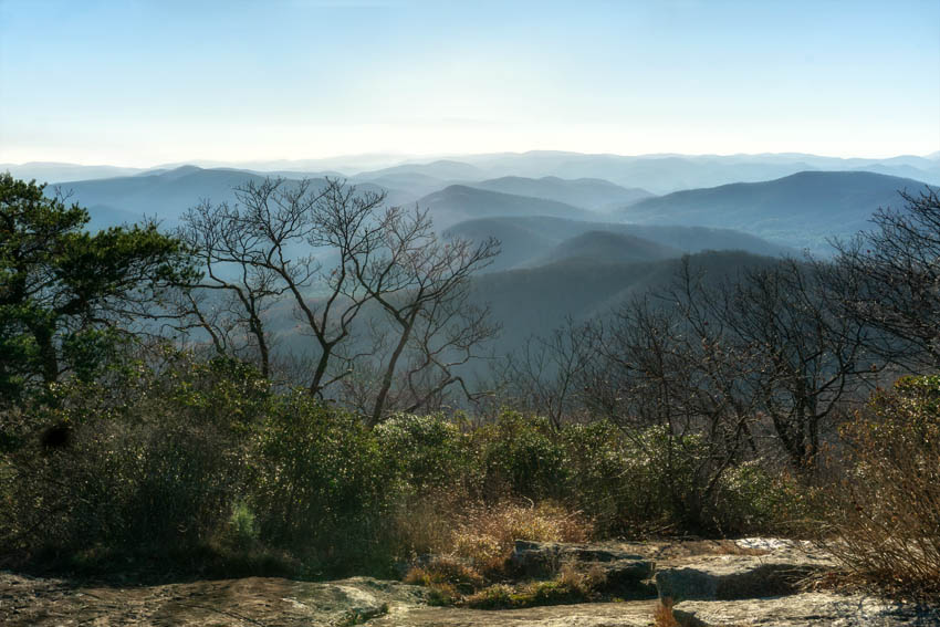
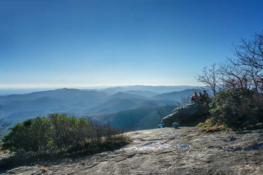
This is one of the main overlooks. The other is at the AT shelter maybe .10 mile from here. I confess that I removed the sun in this photo. I’ll never print this and the sun which was so brilliant on this day was almost blinding. I just wanted you to see the view from the top! Amazing.
Getting ready to begin the trek back down the mountain. I was glad I had my jacket in my pack. Suddenly, the temps began to drop. Winter is truly coming!
We were hiking late and I put the camera away. Thirty minutes later I had to pull the headlamp out! We hiked back to the car in total darkness except for our lights. On the way back we passed two young women, who had stopped and decided to turn back. Without camping gear and the right clothing, that was a smart idea. We kept a slower pace and listened for their voices. Finally, we saw that they had turned their cell phone lights on. Good! They were safe. We picked up the pace!
Hiking in the darkness was amazing. I wouldn’t want to do it all the time because roots and rocks are serious enemies, but aside from that it was completely relaxing. I wasn’t worried about bears or weird people. 2020 has been weird enough and besides: I’m a cancer survivor! Enough said!
One of the markers at the top. The other one is placed on the rocks near the AT shelter. I did not get a photo of that one so you know what that means: we’ll have to hike the trail again!










Leave A Comment