


I’ll return to the Outer Banks (OBX). That’s a definite. The upper portion is tame, especially the area near Kitty Hawk. But the lower section—the area near Cape Hatteras is so much more natural and wild with beauty. It is hard to take it all in. The name Hattaras was used by the Fort Raleigh colonists in reference to Pea Island north of modern day Hatteras Island. Croatoan was an area described in Algonkian Indian tongue as west of what is now Cape Hatteras. The waters near the island are called the grave yard of the sea due to the intense ocean current and the many ship wrecks that have taken place just off this part of the North Carolina shoreline.
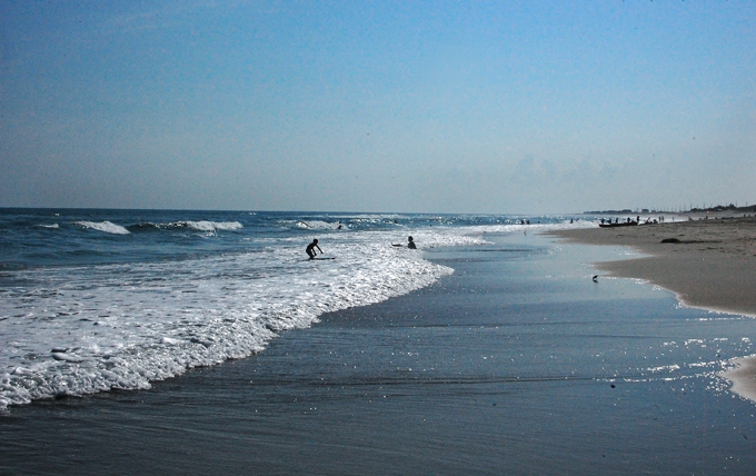
The water is as blue as the gulf (off the western coast of Florida) but the ocean was pure Atlantic—rolling and tumbling without a care toward the shoreline. One thing is for certain: these photos do not do the area justice.

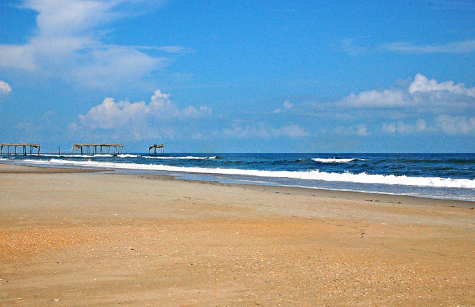
Here are the remains of a local fishing pier. It is all that is left after a passing hurricane blew by.
The Outer Banks were first settled by the British and many descendants still live on these barrier islands. Before bridges were built to the mainland in the 1930s, the only form of transportation between or off the islands was by boat or ferry. This actually helped to preserve the maritime culture and the distinctiveness of the Outer Banks brogue, which sounds more like a British, rather than an American, accent. Many “bankers” have been mistaken as being from England or Ireland instead of America. The further south you travel, the more distinctive, the brogue becomes. The thickest accent is found on Ocracoke and Harkers Islands. I only had a “quick” opportunity to visit Ocracoke. That is why I have to return—there’s just too much to explore on these islands.
Leave A Comment